ALONG RUTA 4 (HIGHWAY 4) IN BOLIVIA
Here are scenes along Bolivian Highway 4 between (north of) Oruro to Cochabamba and again from Cochabamba to Santa Cruz. The pictures will be in order from west (higher elevation, dry) to east (lower elevation, wet), which includes a part of Bolivian Amazonia. Note that almost all these pictures were taken from the bus (I would've loved to have the opportunity to stop for better pics--especially in the cloudier (and thus darker) part of the mountains going into the Amazonian region.
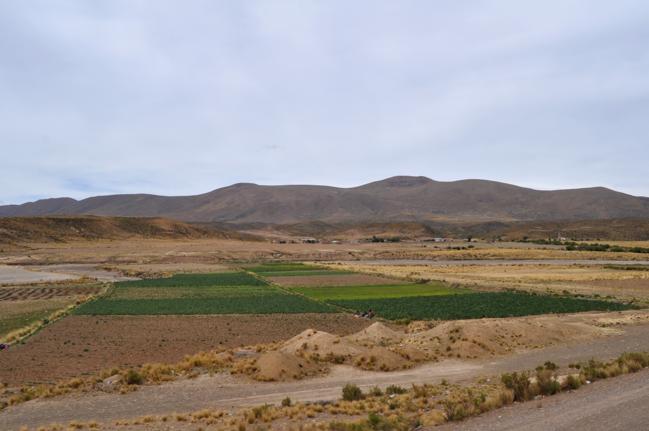
Outside of Oruro (before the mountains) were some farms--mostly with small plots. This was a little over 12,000 feet elevation...
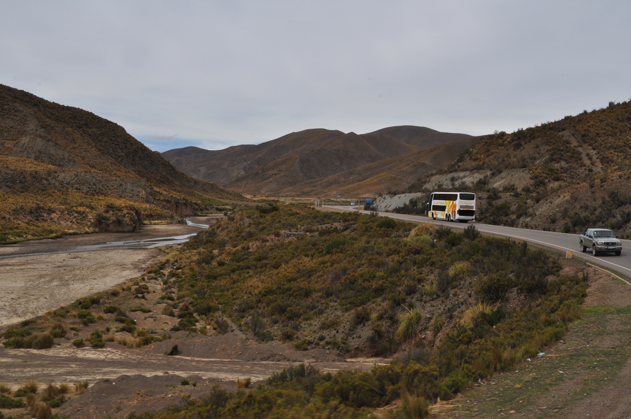
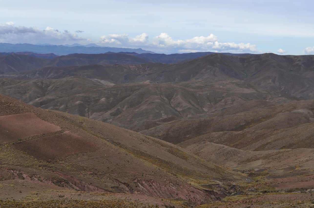
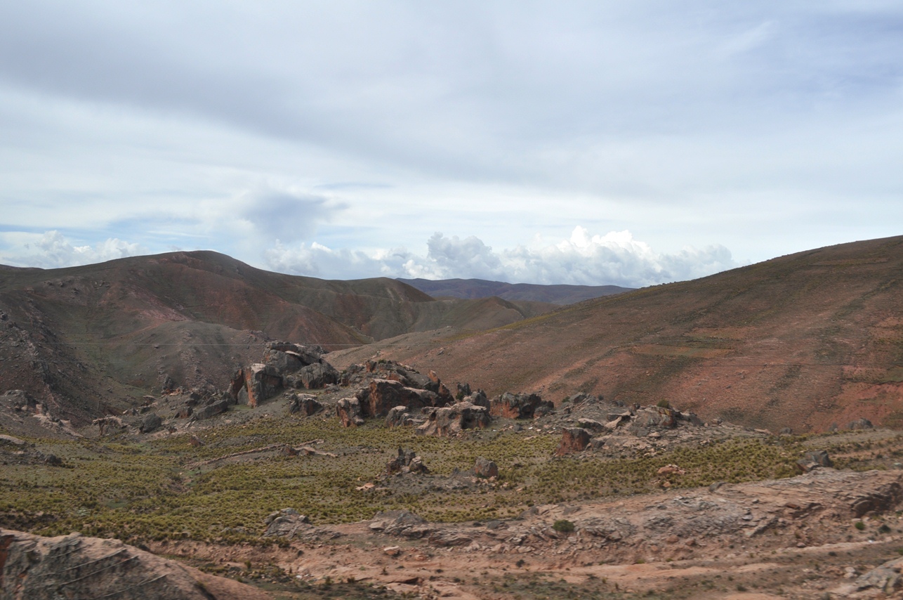
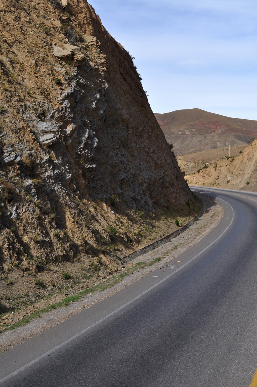
Entering some mountains (around 13,000 feet here)...
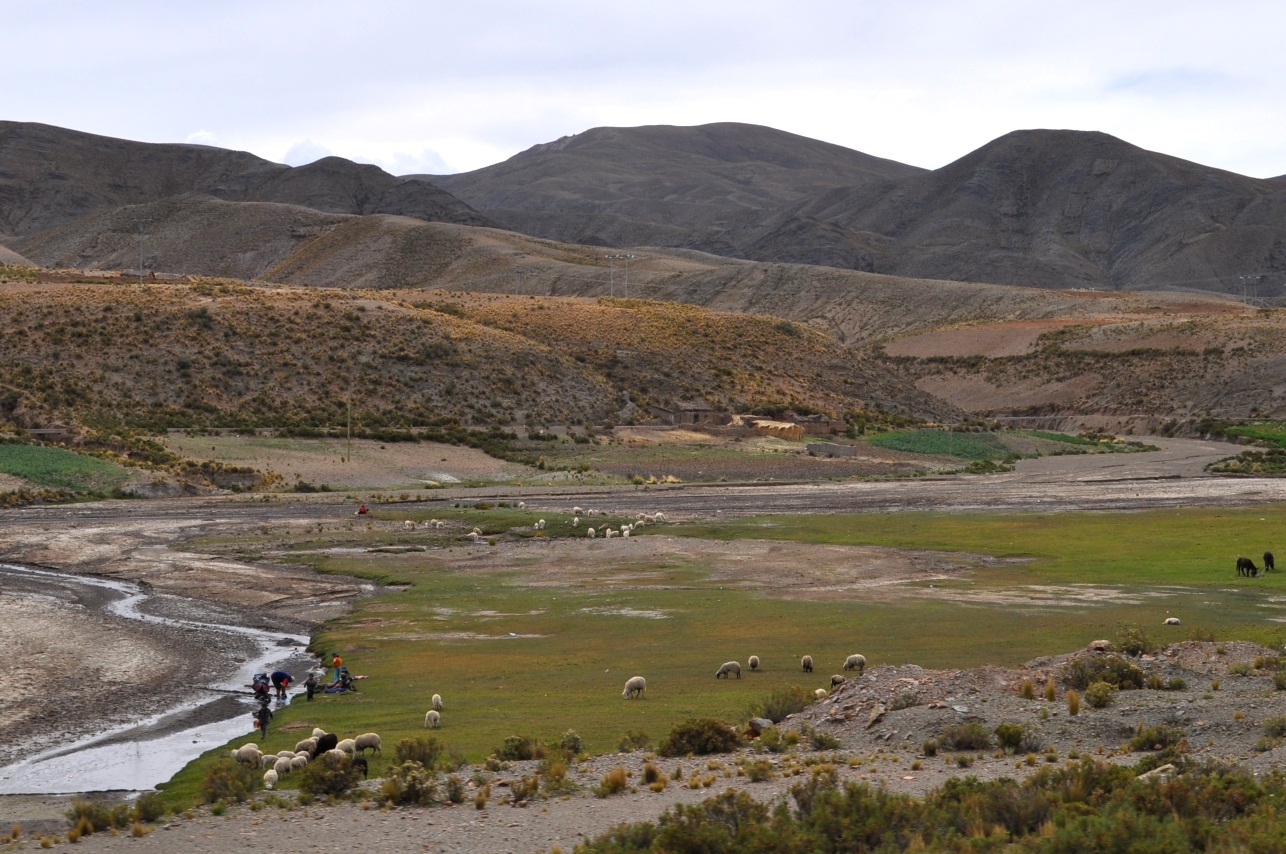
More farms, including some sheep grazing...
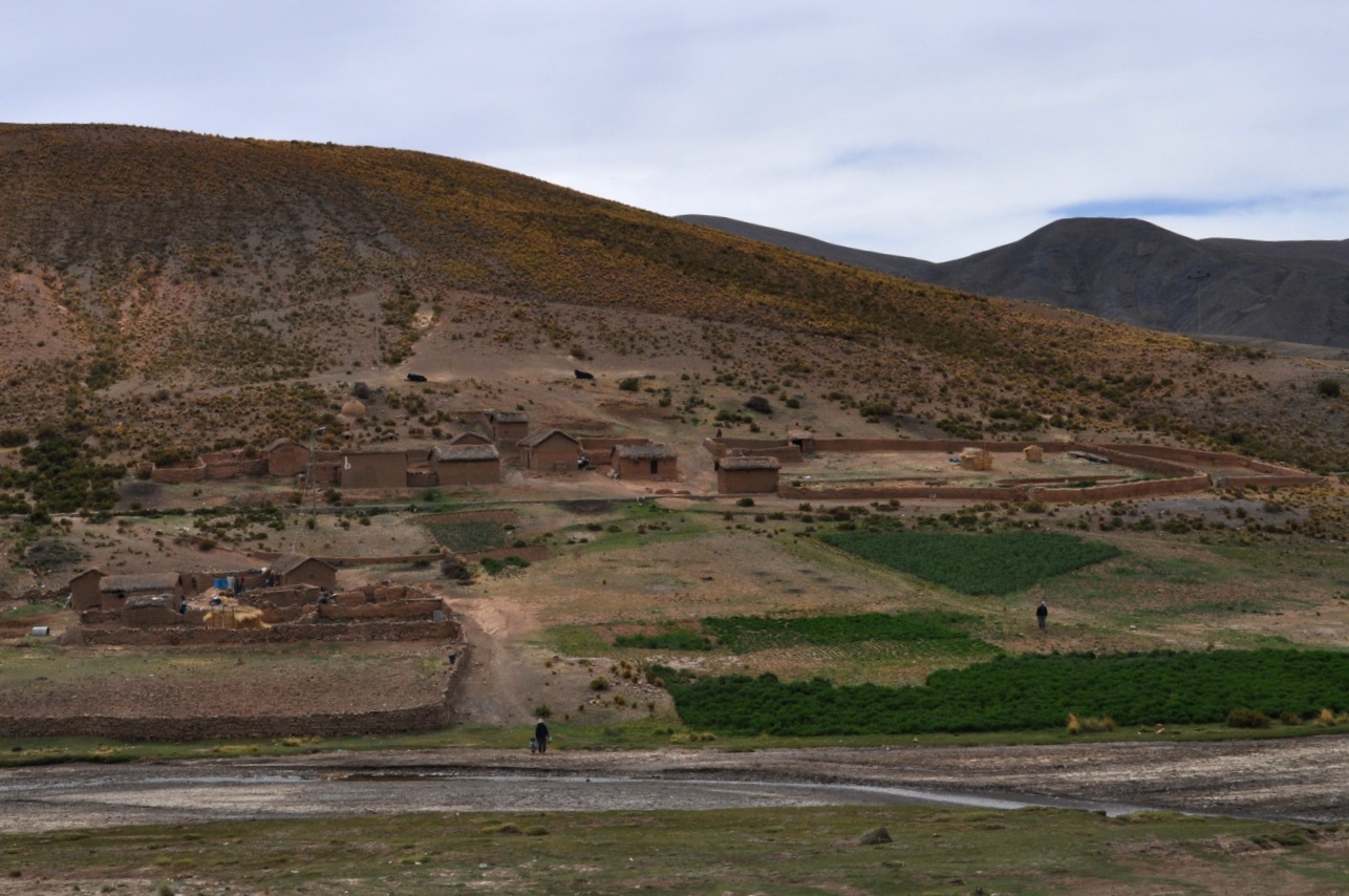
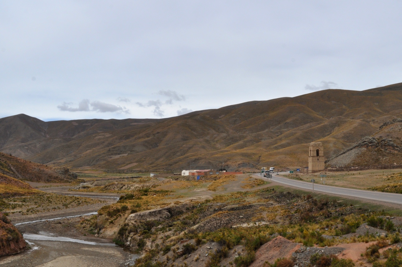
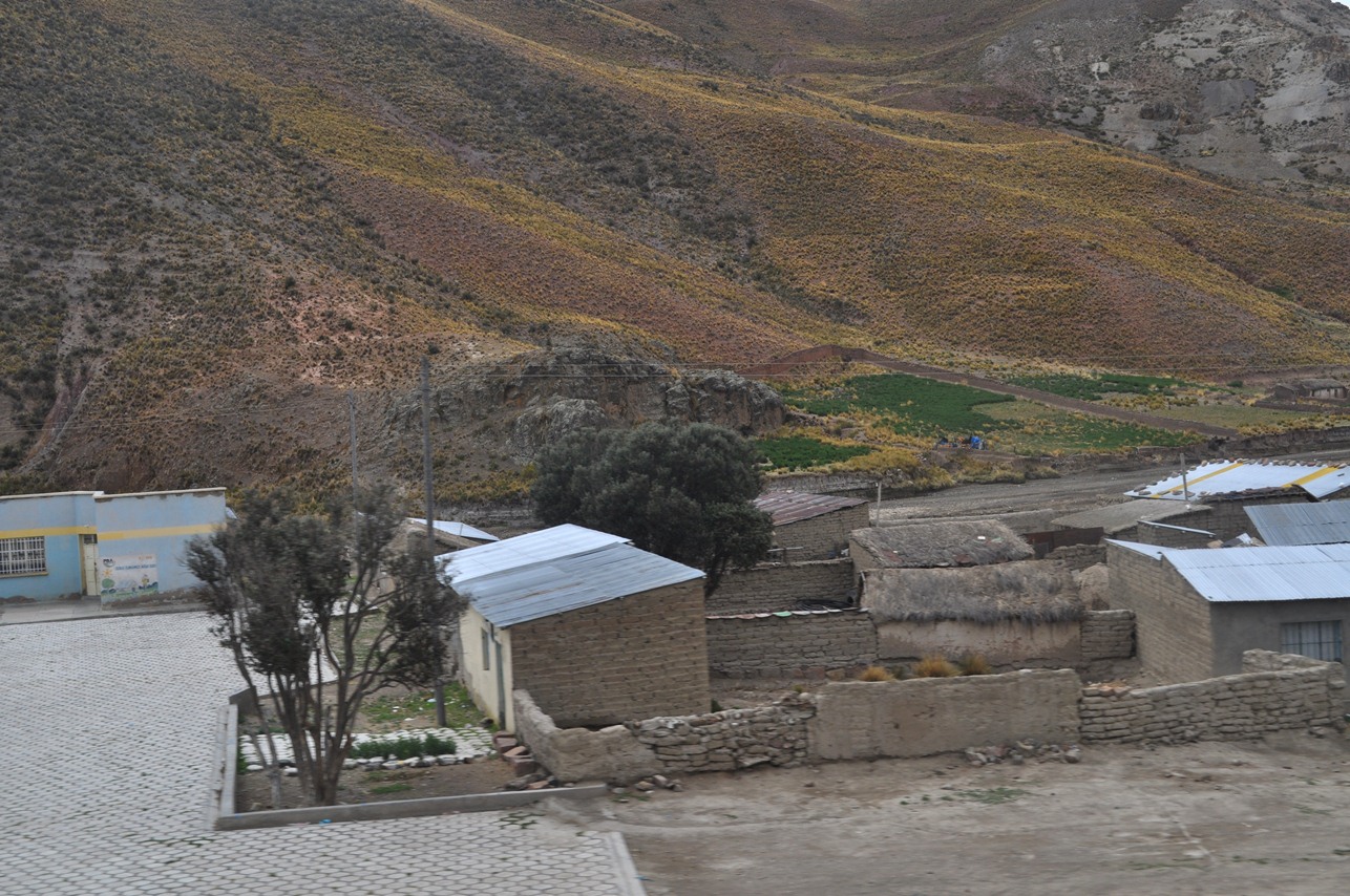
Houses were very small in the villages along this section of highway (kind of difficult to make a living at 13,000-14,000 feet)...
Scenes from near or a little above 14,000 feet (the high point of this highway was about 14,500 feet)...
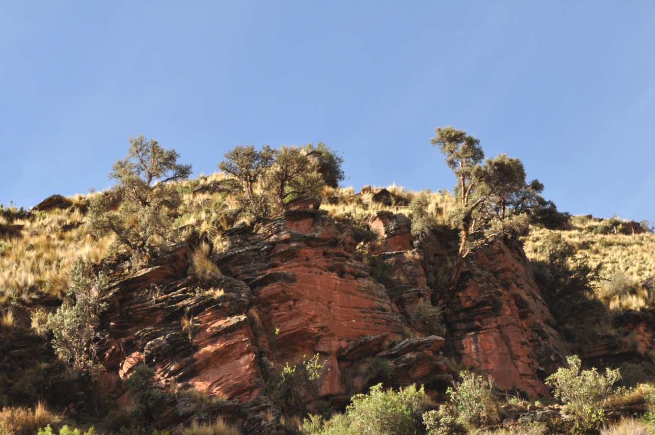
On the descent...there were these Polylepis trees around 12,000 feet above a small cliff...
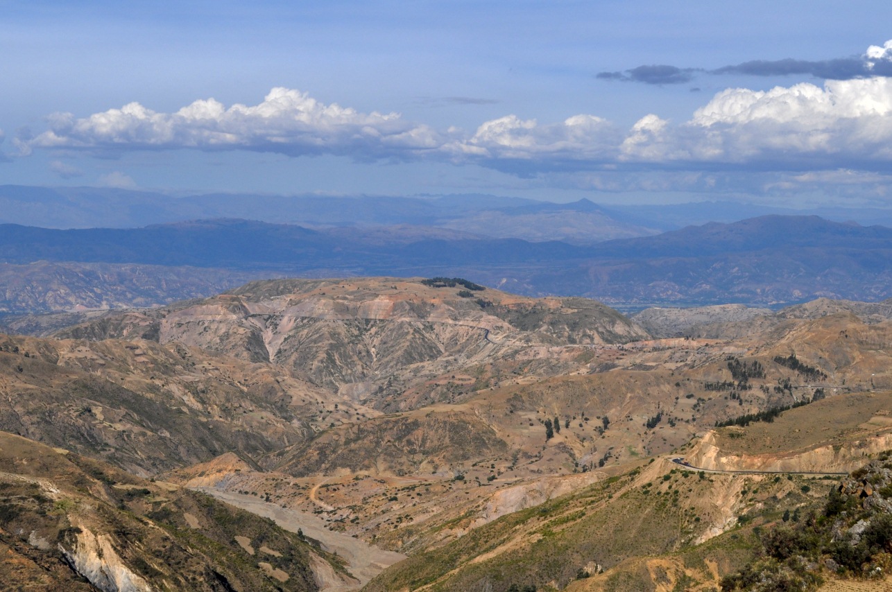
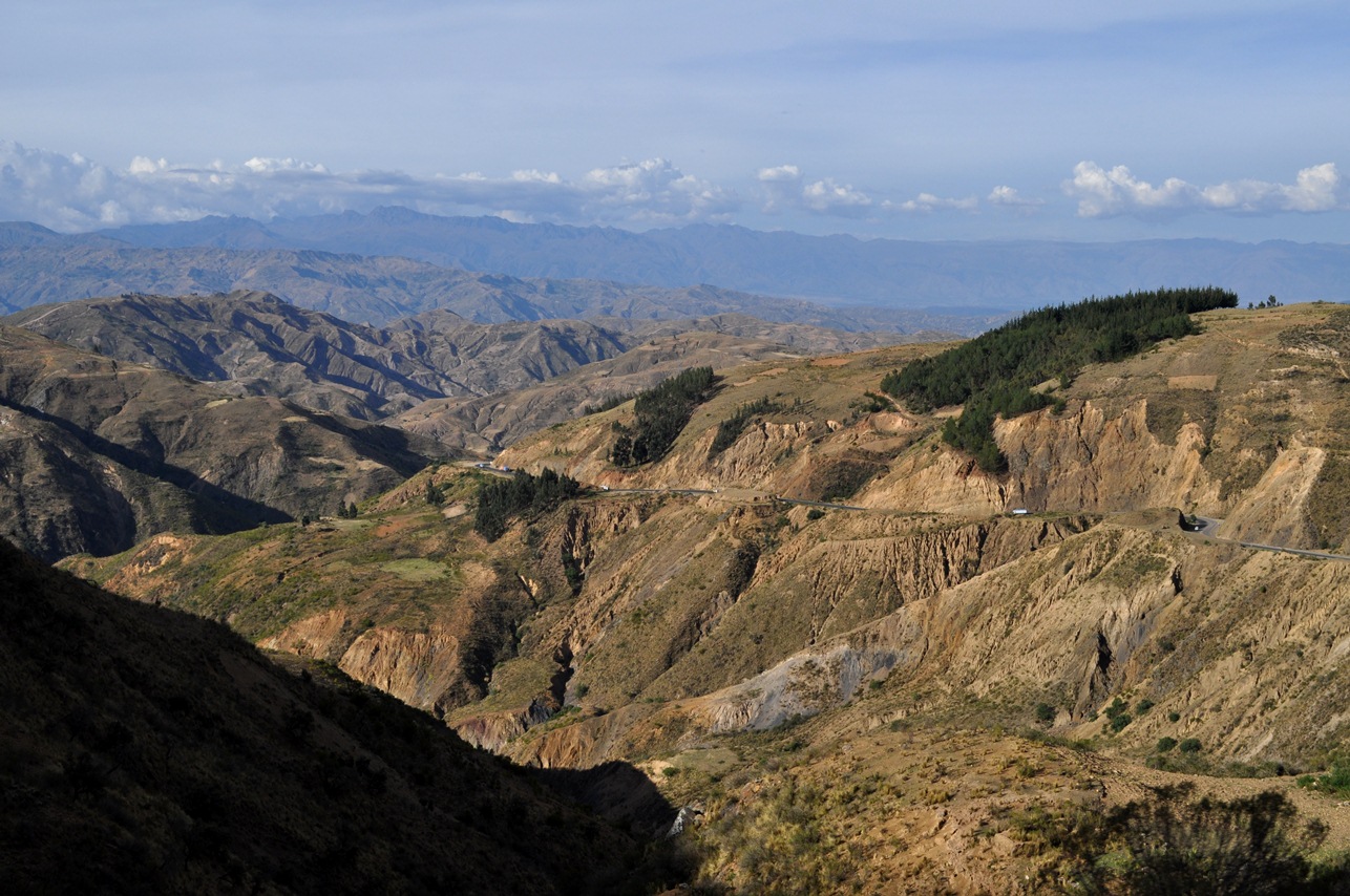
Around 11,000 feet, descending towards Cochabamba...
At this point, we jump over Cochabamba (go here and here for Cochabamba pics and here for nearby mountain pics.
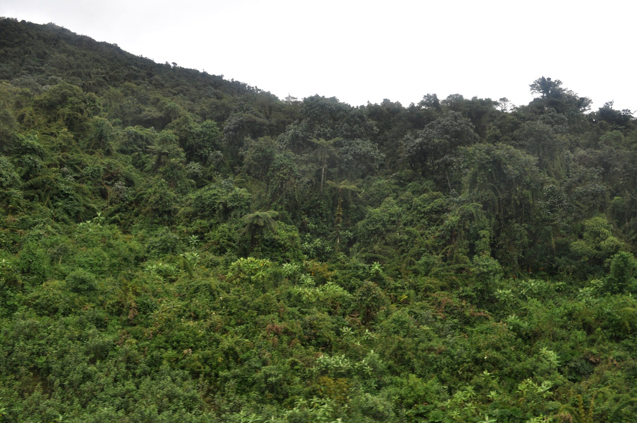
About 30 miles after Cochabamba, it suddenly gets much wetter, with cloud forests in the mountains. The first pic is from around 8000 or 9000 feet...but the elevation drops fast after that...
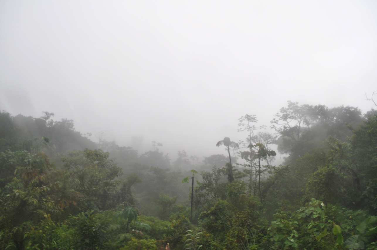
Lots of fog (and rain)...
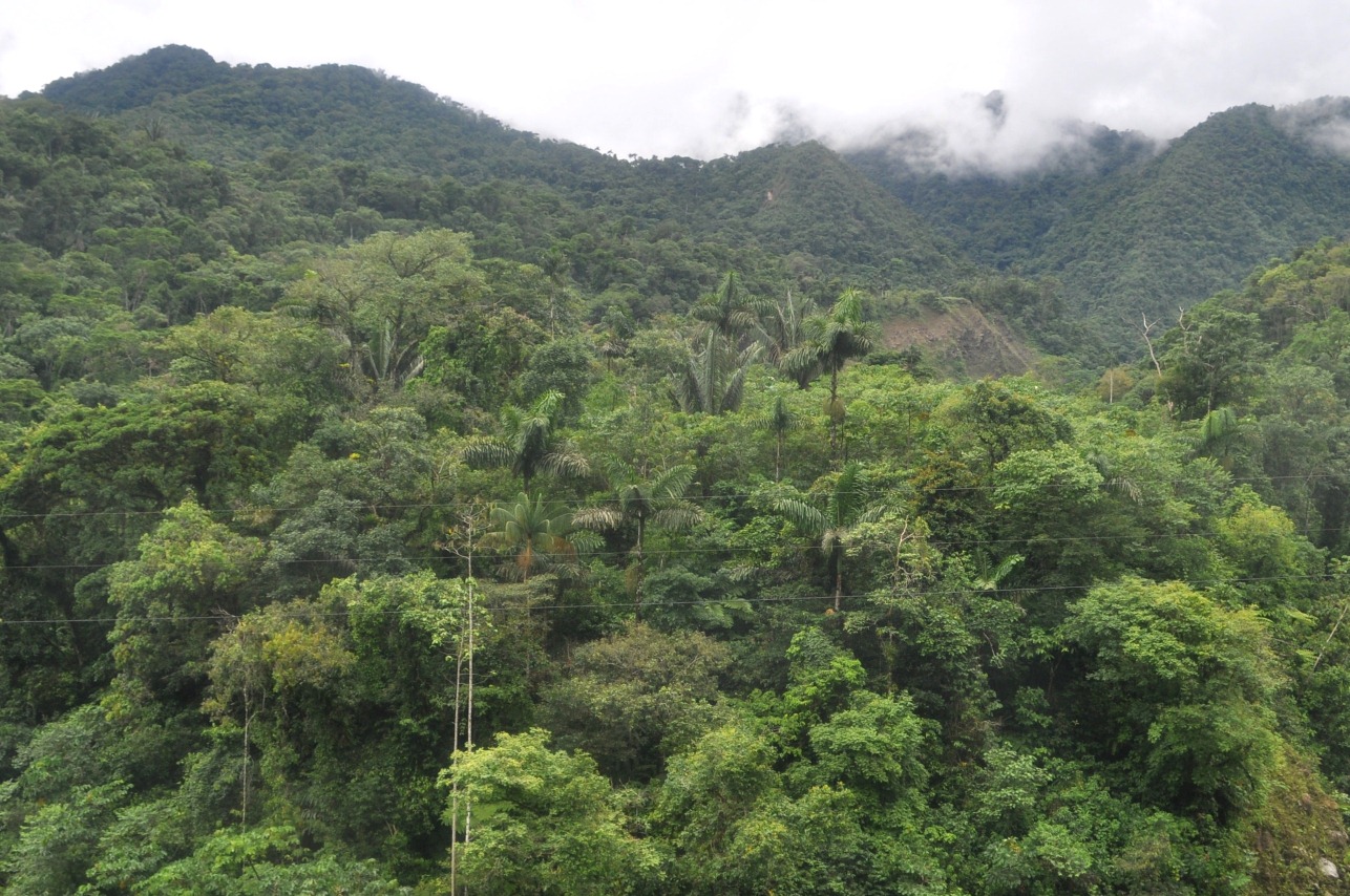
These pics are from somewhere around 2000 feet (too much heavy rain, including too many rain drops on the bus window, resulted in no good pics in between)...
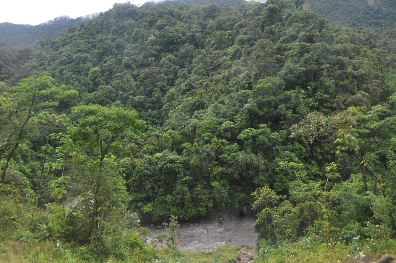
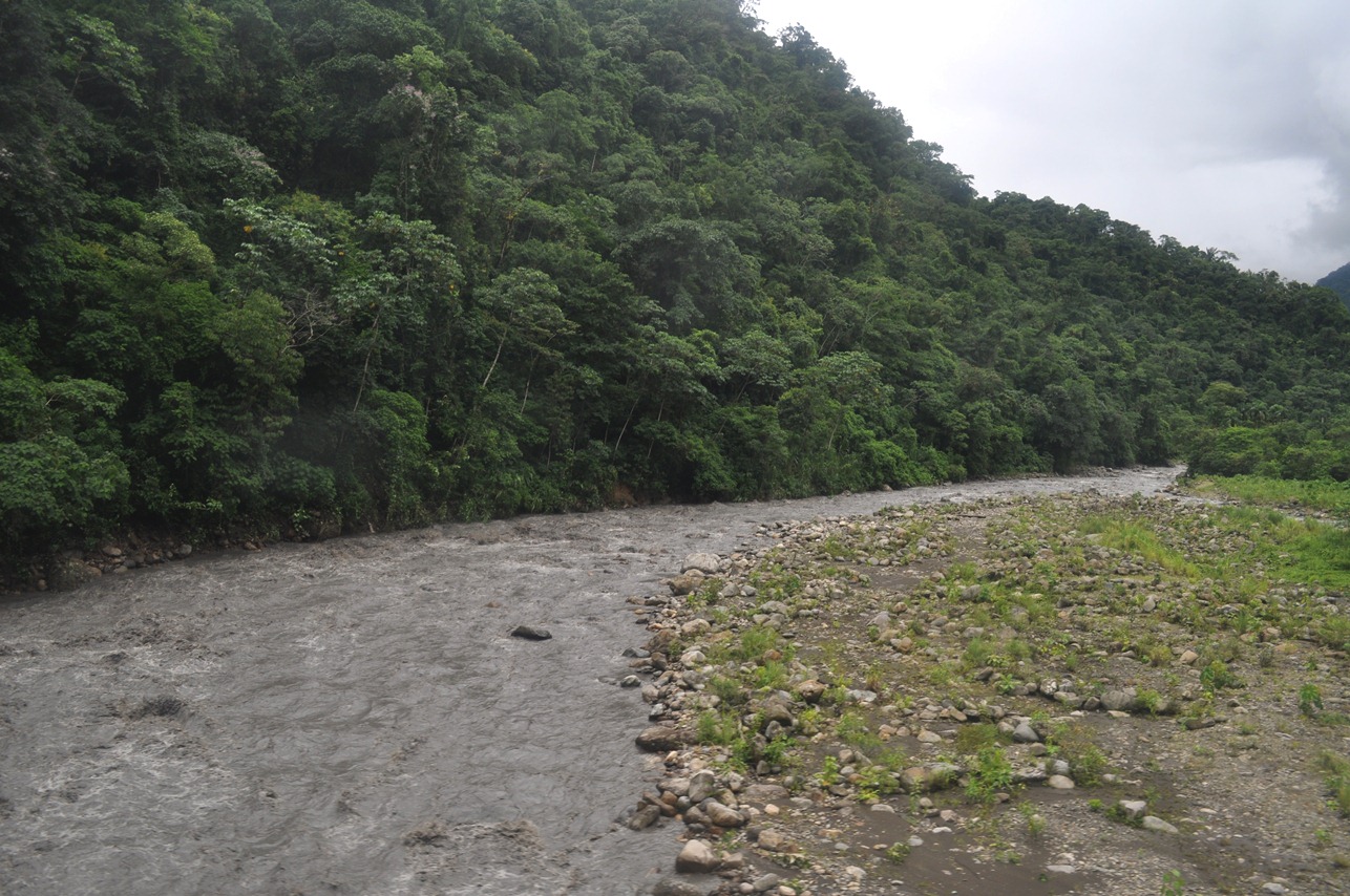
A stream (Espiritu Santo) at a slightly lower elevation...
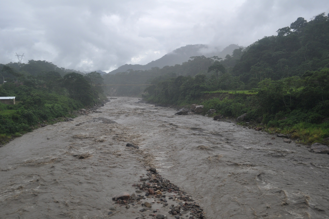
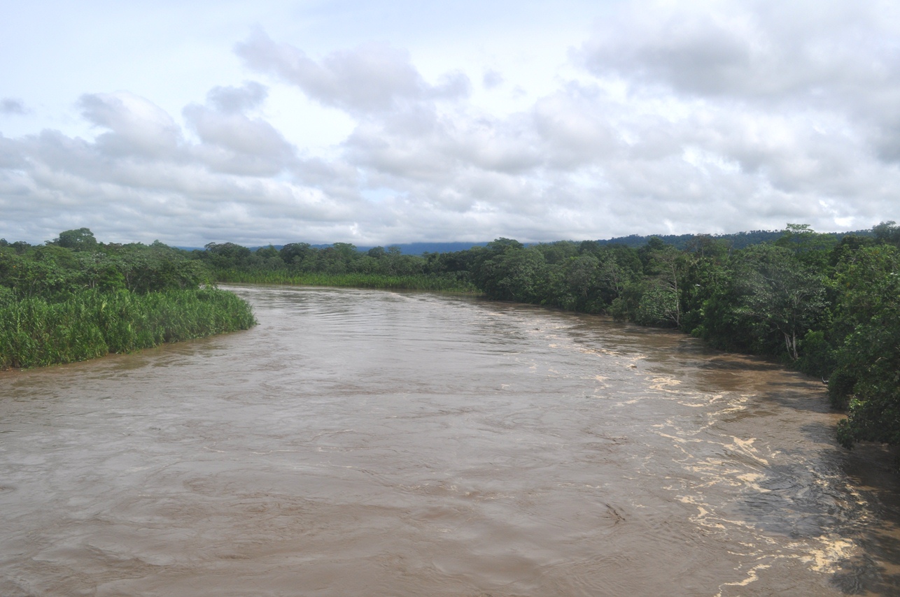
Now...on the Amazonian lowlands (around 1000 feet above sea level)...there were many rivers (every few miles in some cases!), including the Rio Chimore right at the foothills of the Andes...
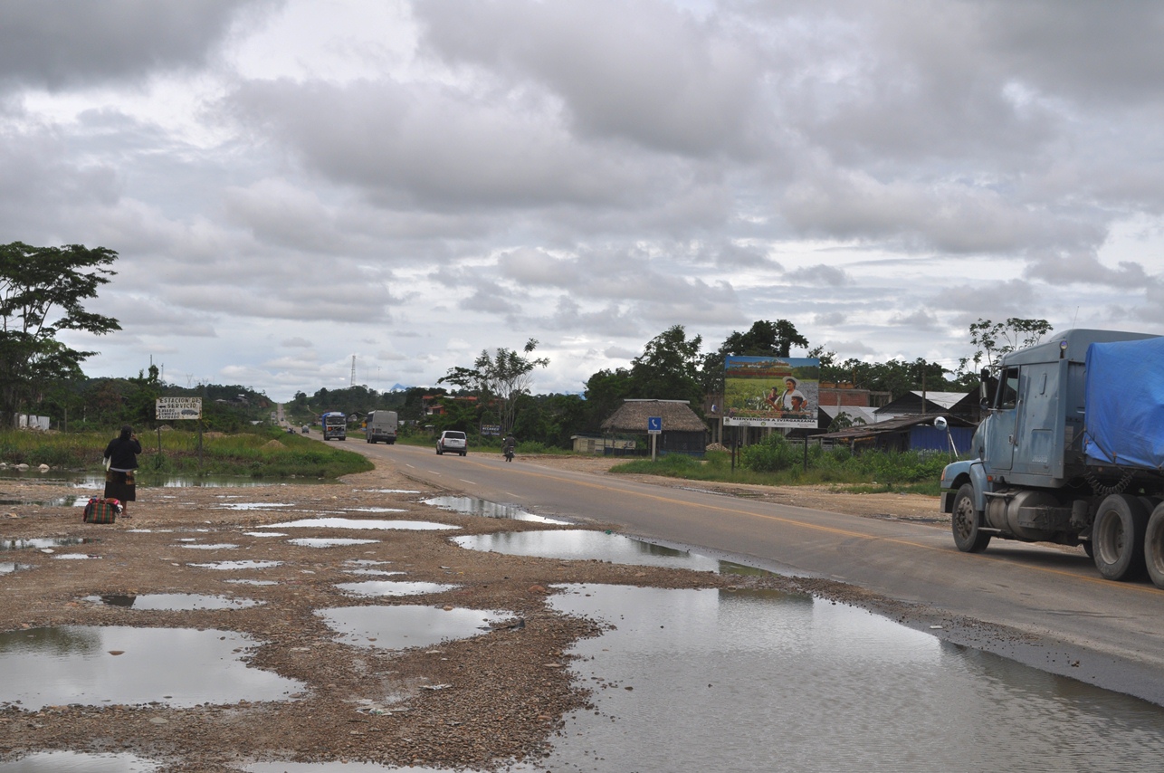
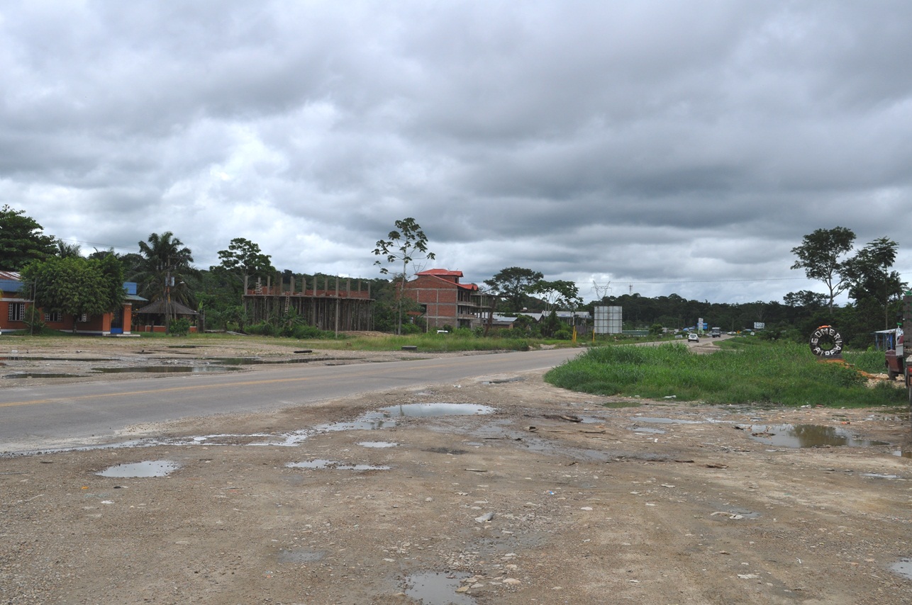
Highway 4 at a bus stop in Ivirgarzama...
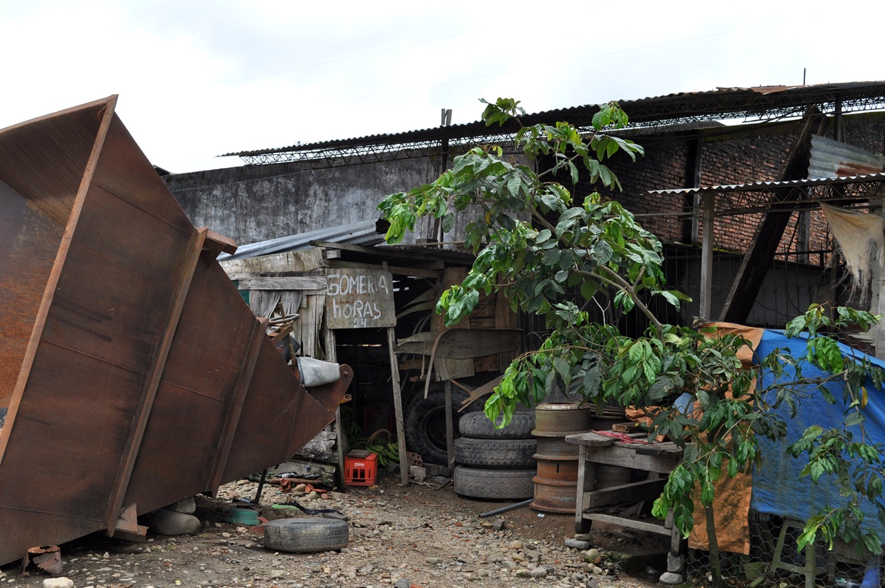
Gomería is the word used for a tire repair shop in Bolivia and some other South American countries (from "goma" which means rubber). Note the small (and ubiquitous in this region) ice cream bean tree...
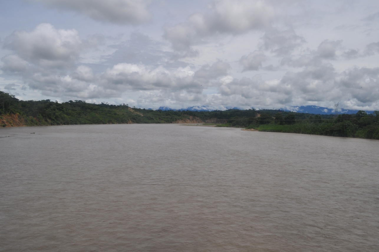
Another river down the road...
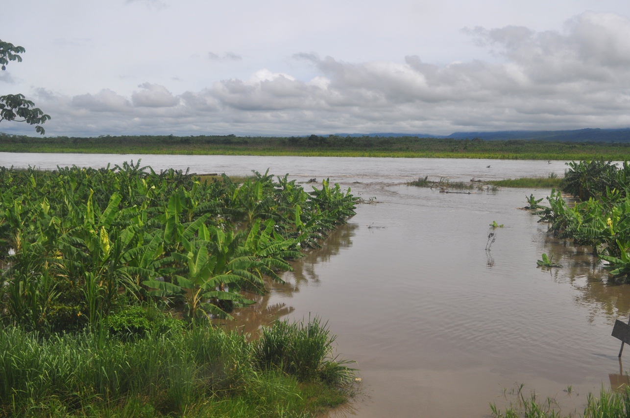
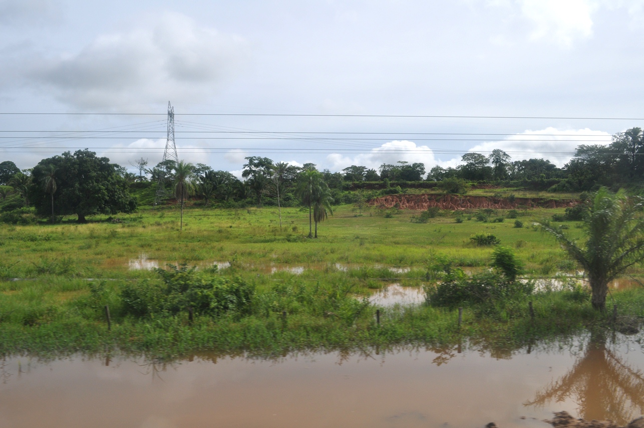
Some of the rivers were flooding, such as into this banana grove...
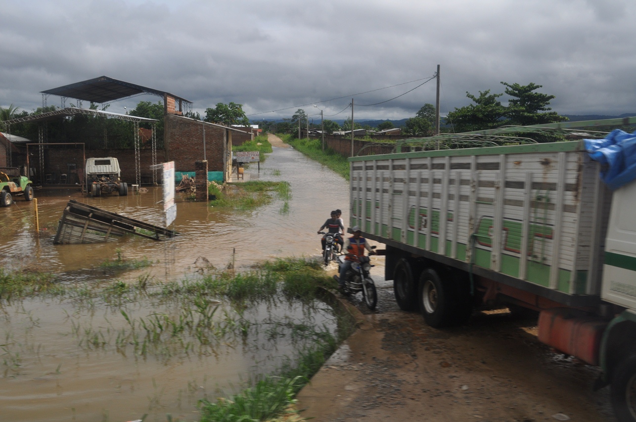
A flooded street...
More wet conditions...
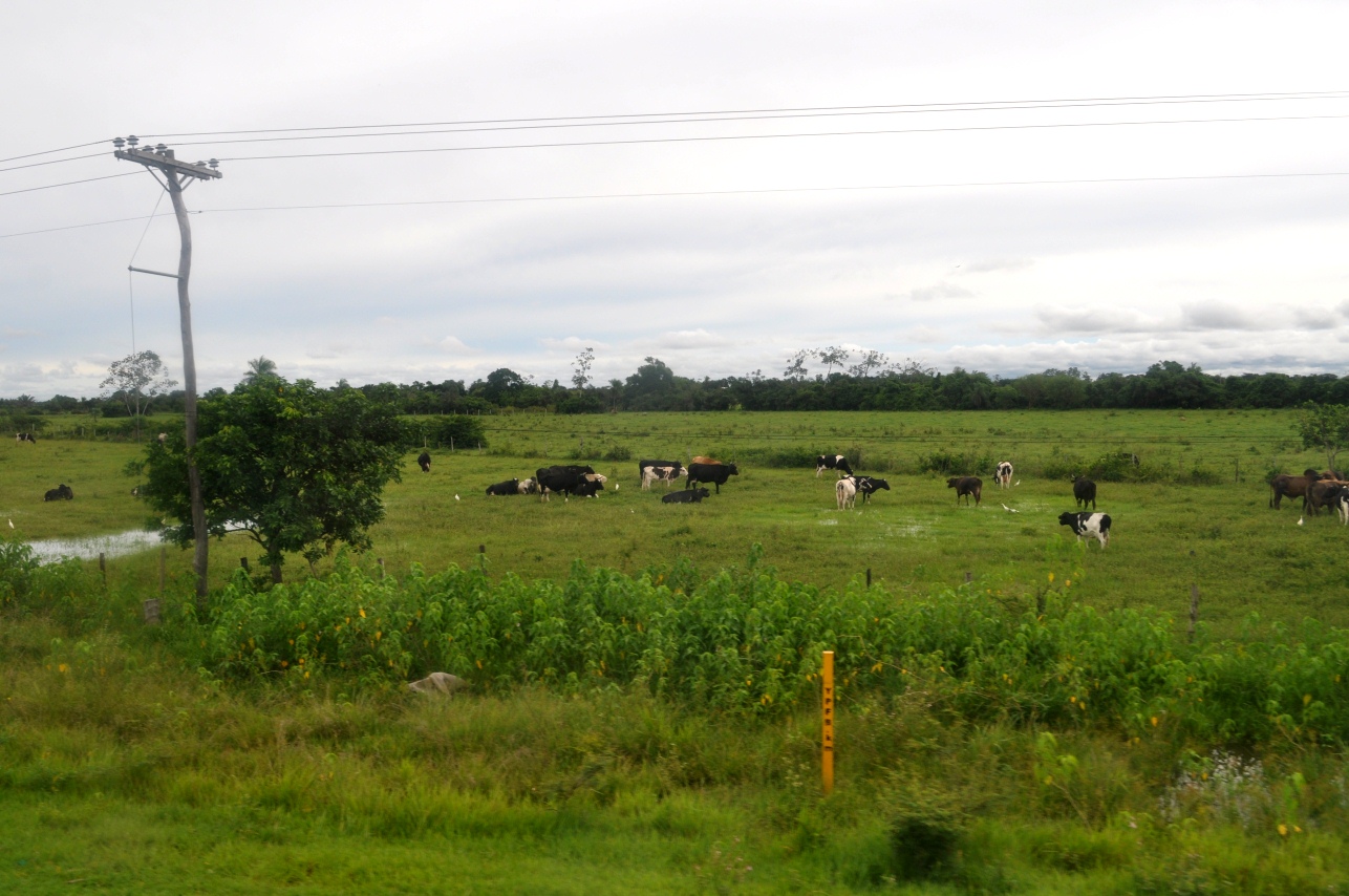
Some cattle grazing near Portachuelo (crooked utility poles were common in this area)...
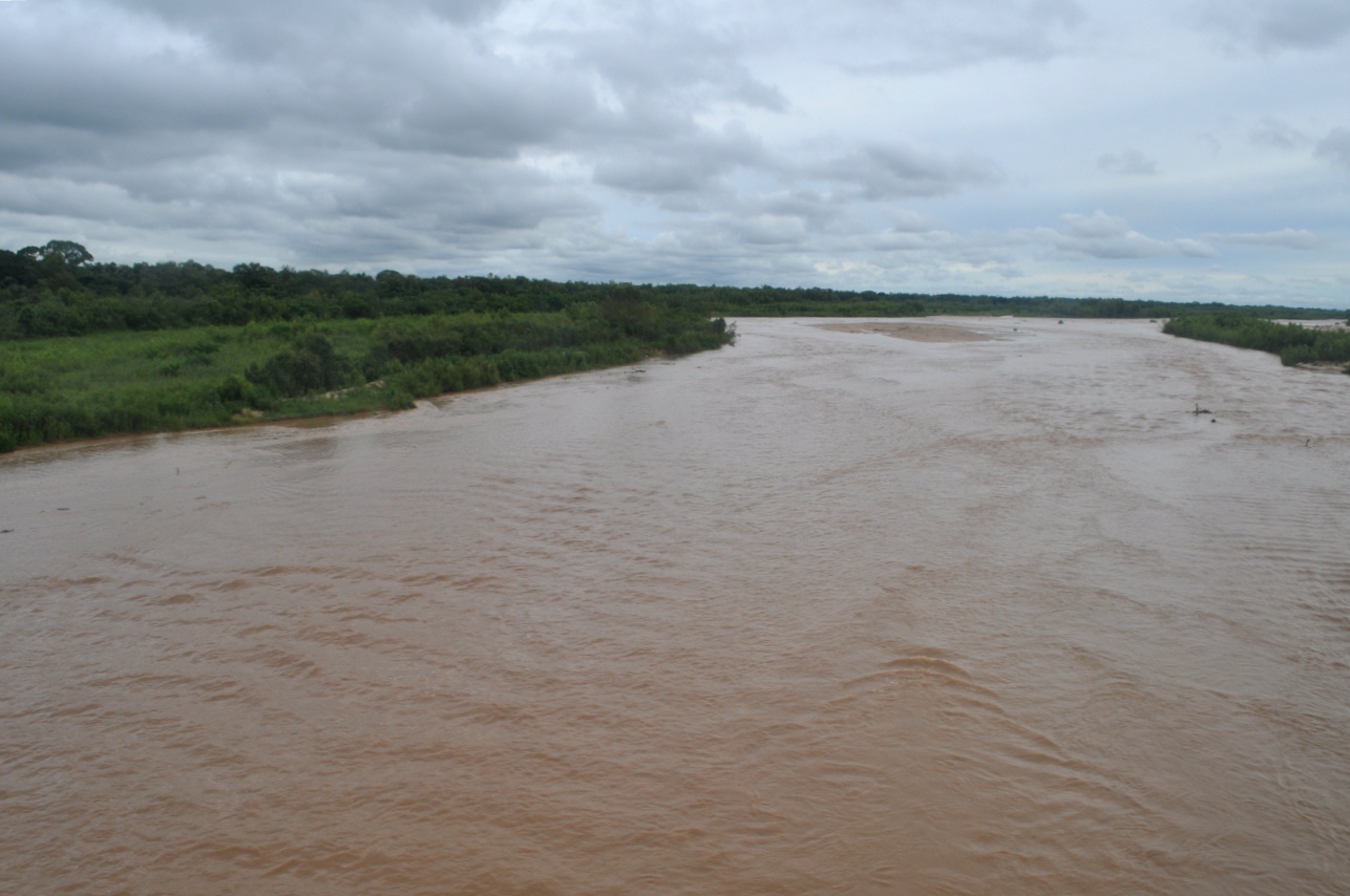
Rio Piray, east of Portachuelo...
All of the above pictures on this page were taken in December 2012 by Brandt Maxwell.
Return to the Bolivia Pics Page