ANTIGUA GUATEMALA
Antigua (also known as Antigua Guatemala even among Guatemalans) was a very scenic town less than 50 kilometers from Guatemala City (and a little less than a mile above sea level). The city has colonial architecture, several ruins from previous earthquakes (especially a big one in 1773) and numerous volcanoes in the vicinity.
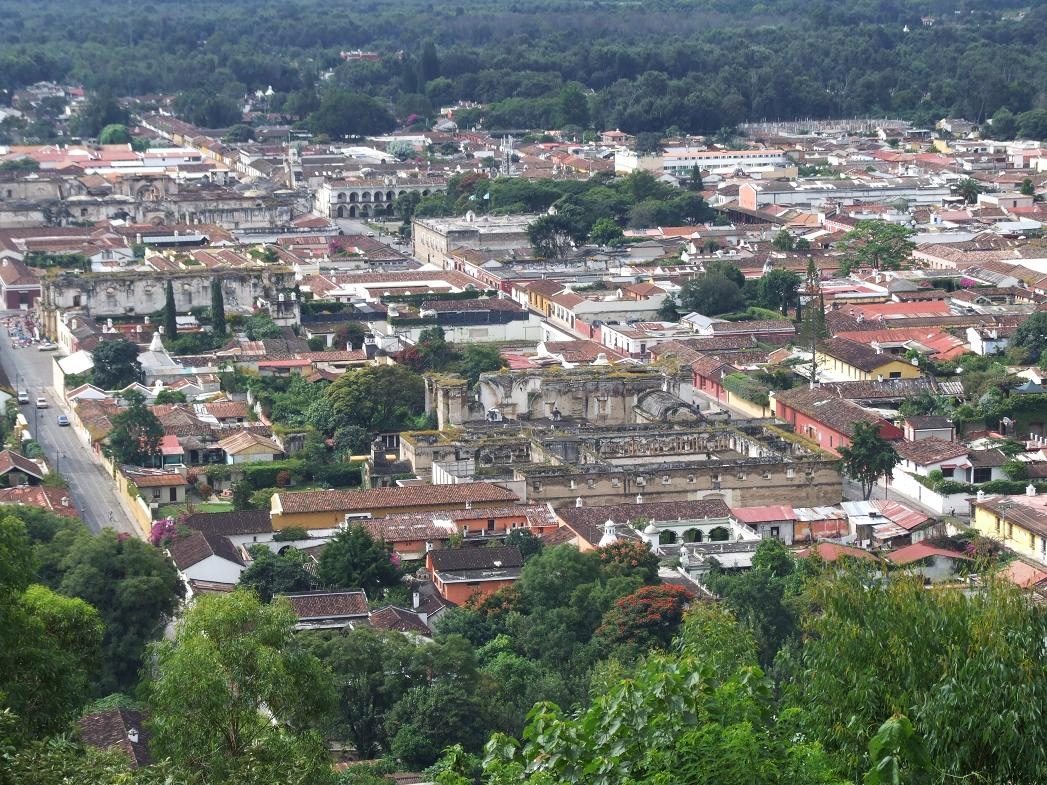
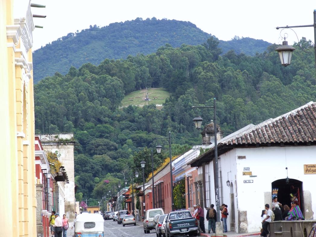
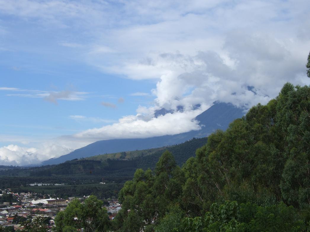
View of the city (from a nearby hill)...
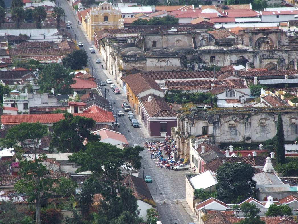
Close-up...
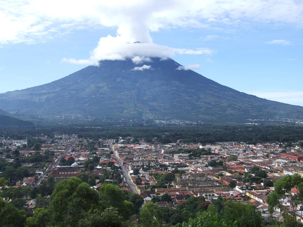
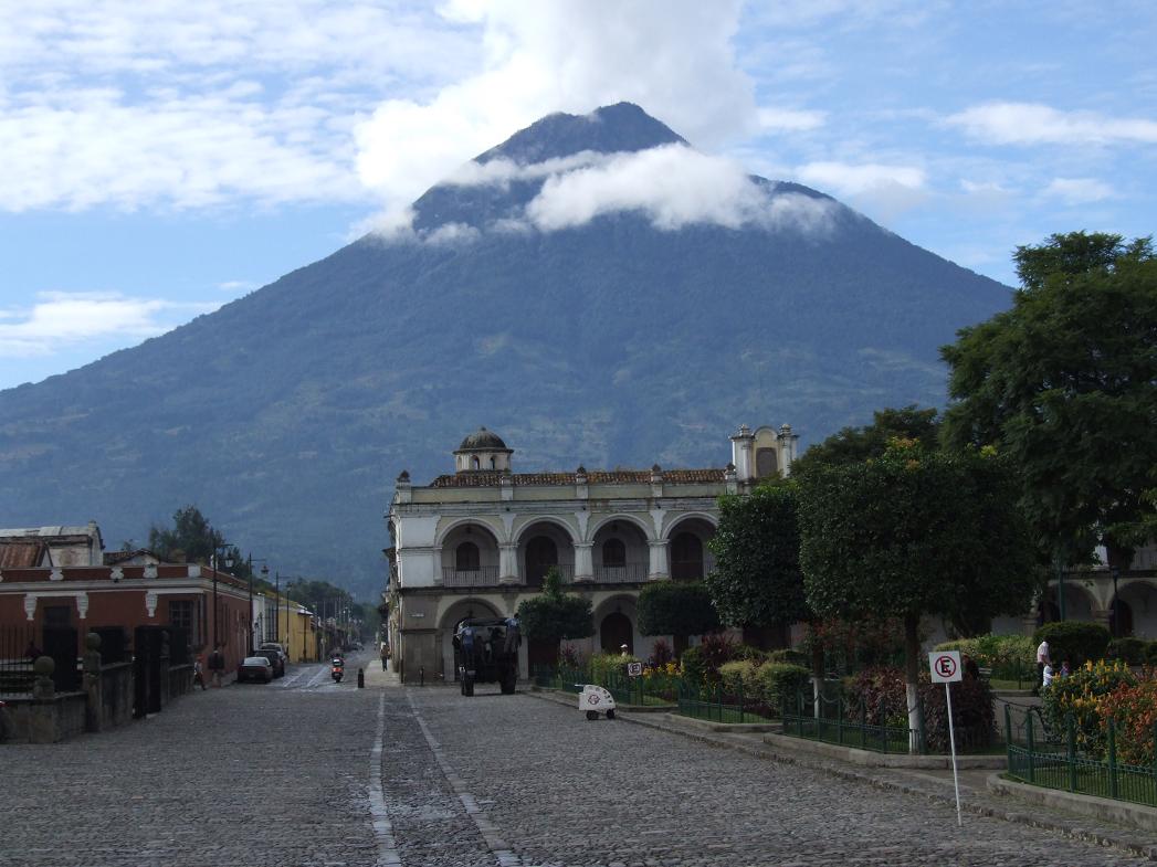
Volcan Agua to the south (with odd cloud patterns)...
Another view...

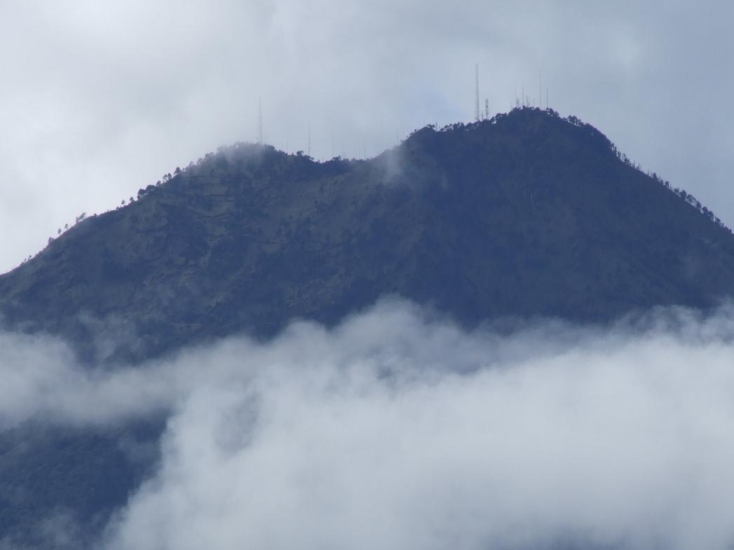
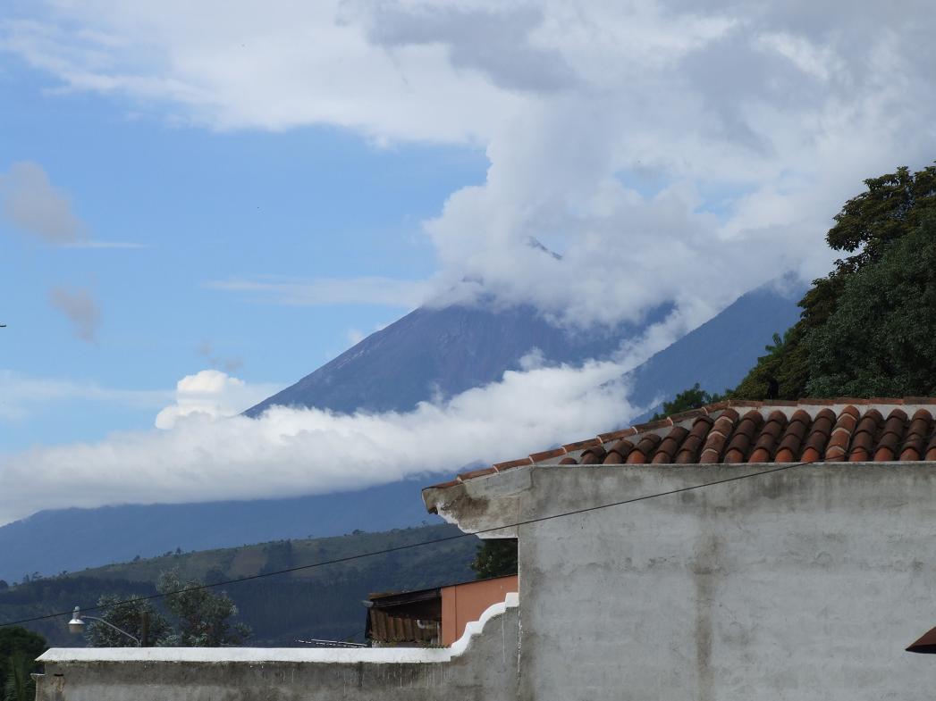
The peak of Volcan Agua...
Viewing that view point from Antigua...
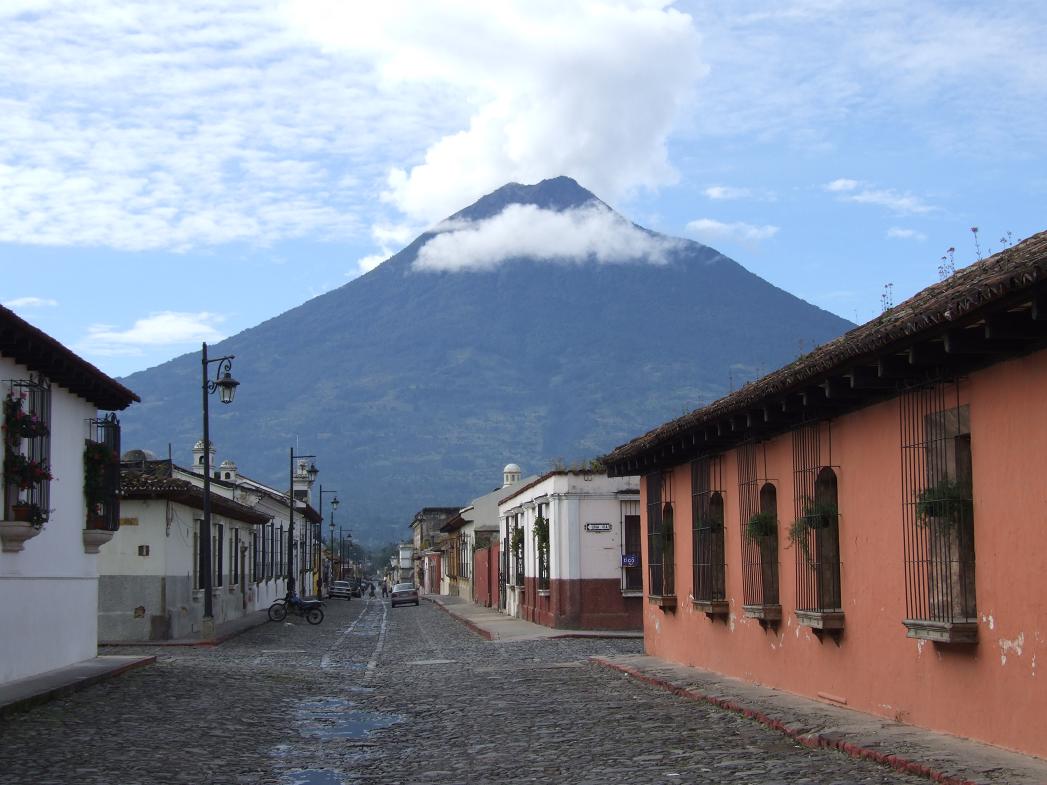
A couple of views of Volcan Agua from street level...
Volcan Fuego to the west
Volcan Fuego and Volcan Acatenango (both mostly in the clouds)
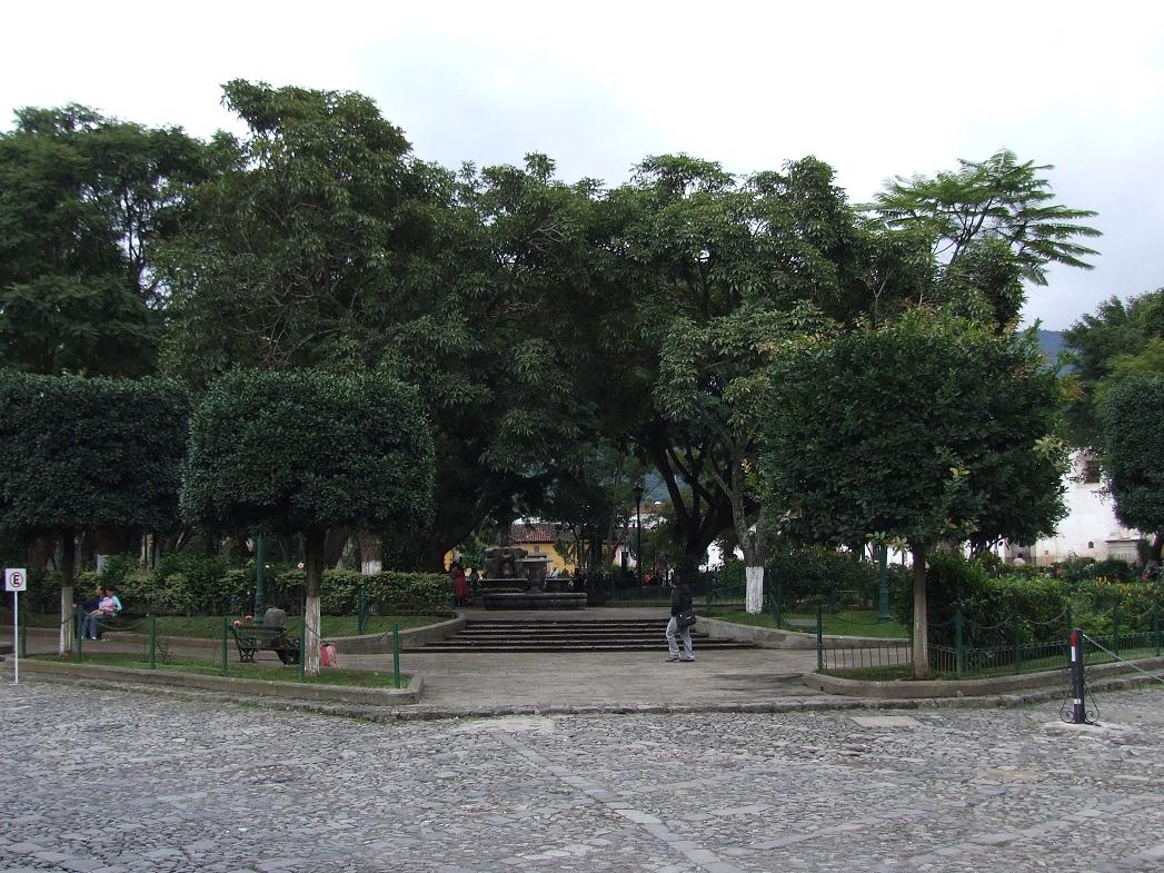
Park in the center of Antigua (note that those are hollies in the foreground!)...
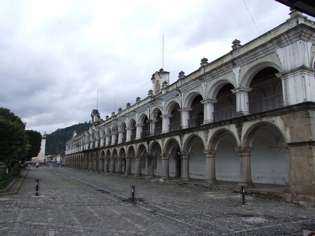
Palacio de los Capitanes...
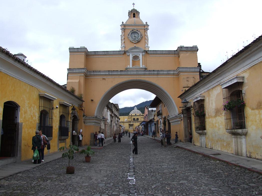
Clock bridge over a street...
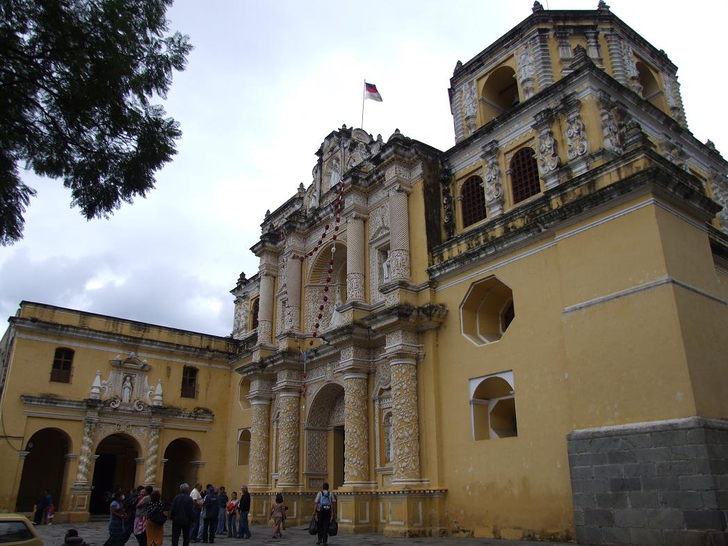
Iglesia de Nuestra Seńora de la Merced (Church of Our Lady of Mercy)...
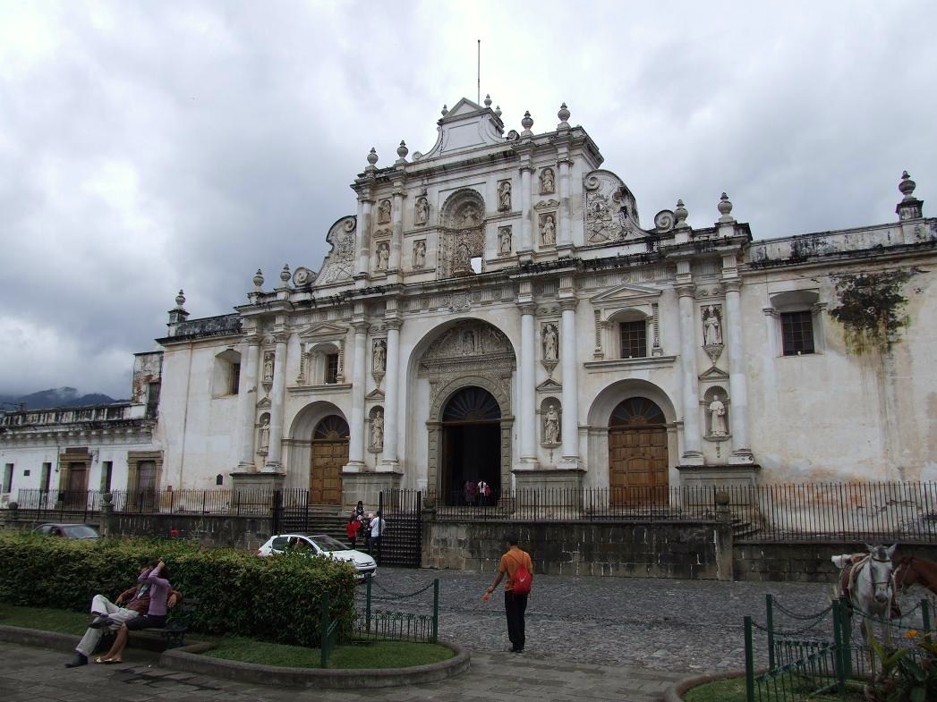
Catedral de Santiago (an church that's actually functional in the front, yet the back side is all ruins)...
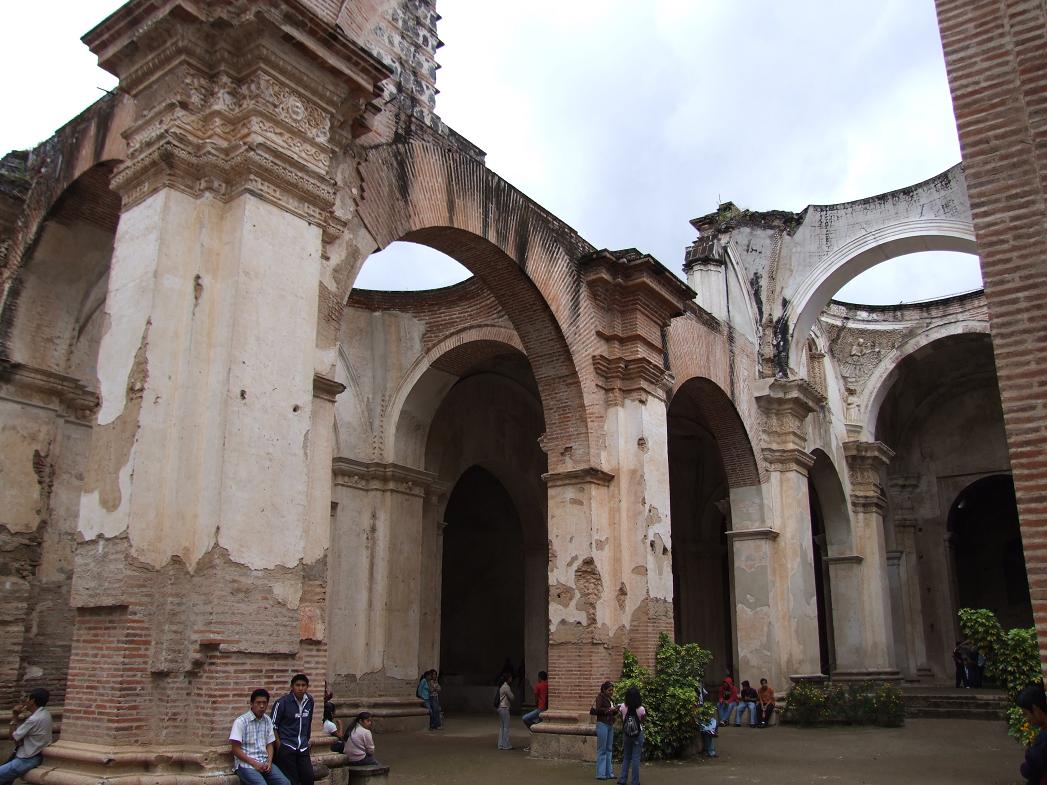
Catedral de Santiago Ruins...
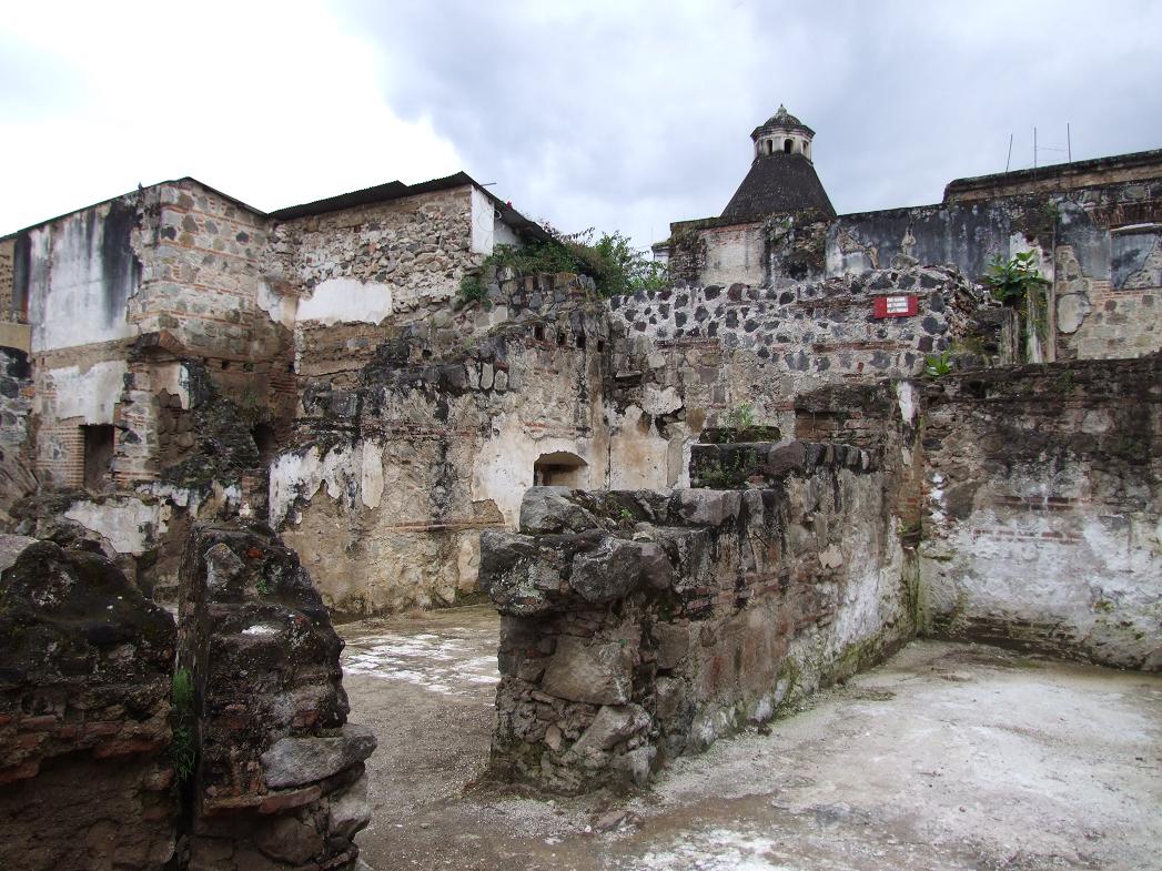

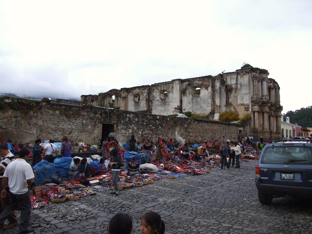
Iglesia de las Capuchinas ruins...
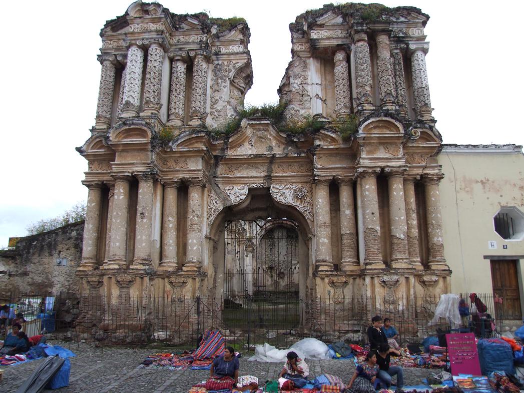
Market in front of Iglesia de las Capuchinas...
Guatemalan license plate (probably the best Latin American plate)...I believe that this is on the front of the car (the sticker for 2008, versus 2004 would be on the plate on the back of car)...

Middle class neighborhood on the outskirts of Antigua...
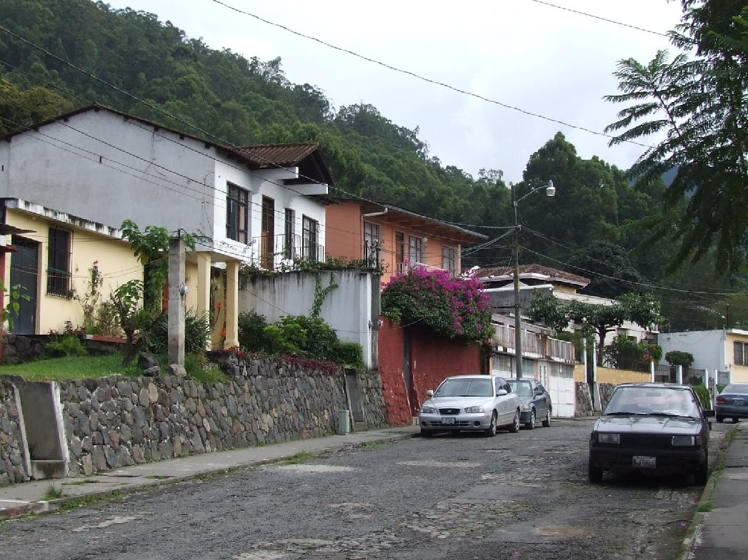
View from a small park in that neighborhood...

All of the above pictures on this page were taken in October 2008 by Brandt Maxwell.
Return to the Guatemala Pics Page