ORIZABA REGION
Here are pictures from various locations moderately close to Pico de Orizaba and in/near the town of Orizaba. There is a very strong rainfall differential (drier to the west, wet to the east)--even during the latter part of the dry season (March), areas from the town of Orizaba east are reasonably green.
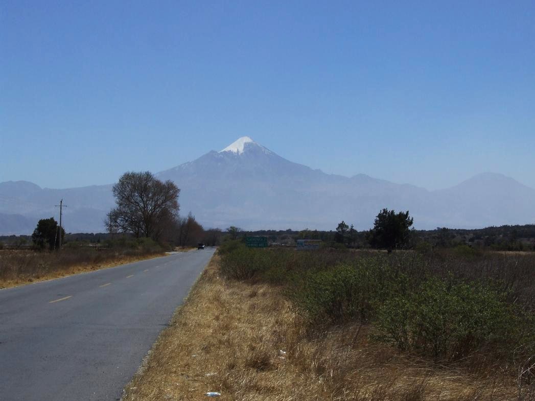
Pico de Orizaba, from about 30 miles to the west (in the state of Puebla, near El Seco)...
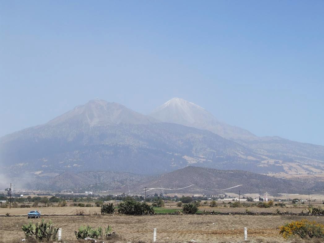
Pico de Orizaba from about 20 miles to the south (just west of the Puebla-Veracruz state border). The haze is mostly due to dust...
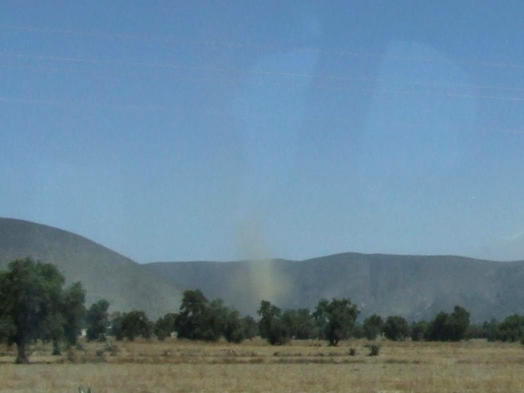
A dust devil in the same area (viewed from the car)...
Now...going east into the state of Veracruz...
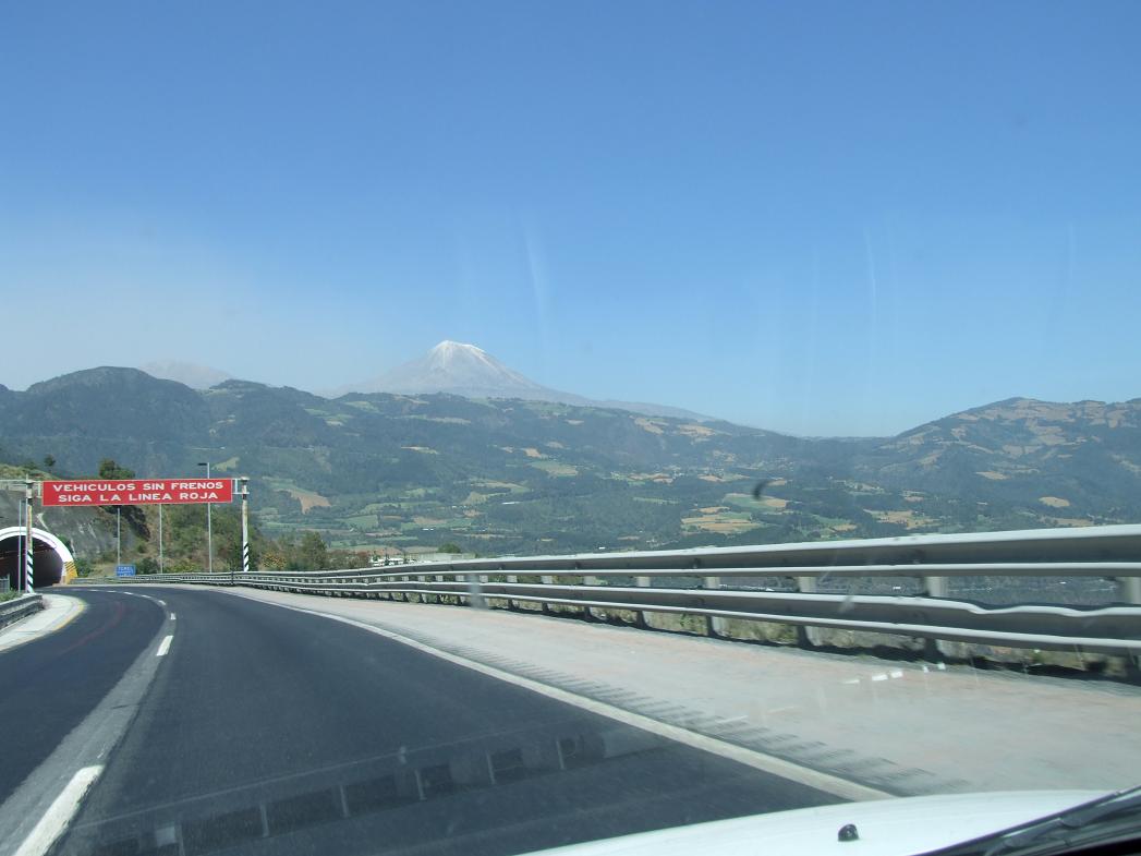
View of Pico de Orizaba from the long steep grade that goes from 8000' to 4000' in about 15 miles (this is from around 7000'). The red line for vehicles with brake failure is barely visible in the left lane (there's an emergency ramp a short distance below).
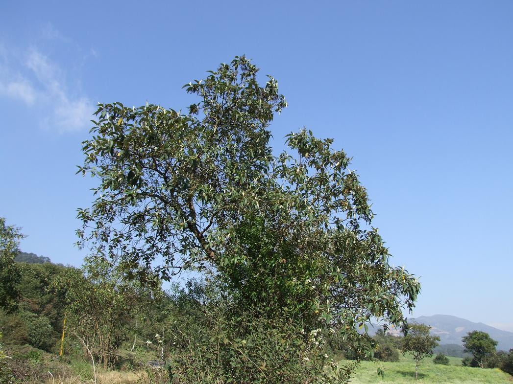
Native butterfly bush (Buddleja) nearby, though not in bloom yet...
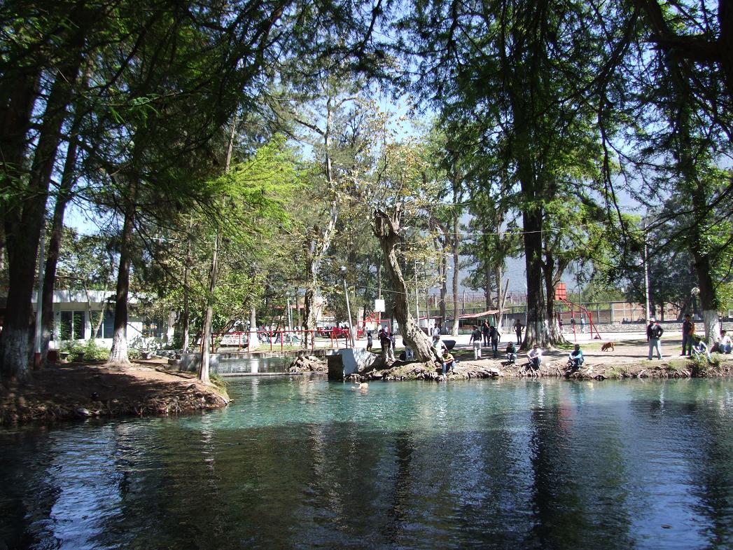
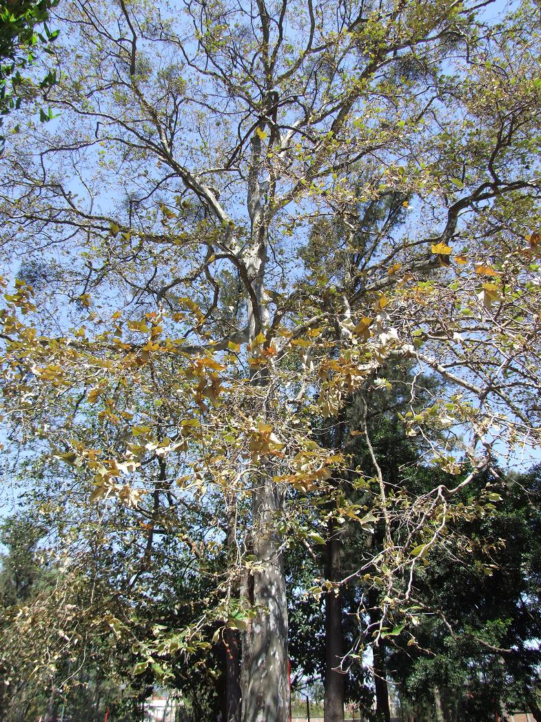
Shortly before the town of Orizaba (elev. 4000'), there was a small lake (Laguna de Nogales) with wooded vegetation (just to the west, it was much drier). This included trees like the Mexican cypress (Taxodium mucronatum) and Mexican sycamore (Platanus mexicana)--2 trees closely related to eastern US trees.
First...the part of the lake surrounded by Mexican cypresses...
Looking west from the lake up the lower mountain slope...
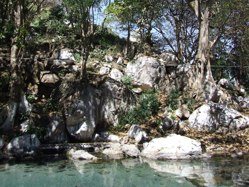
Another view of the pond, with boulders and a large fig tree to the right (Ficus)...
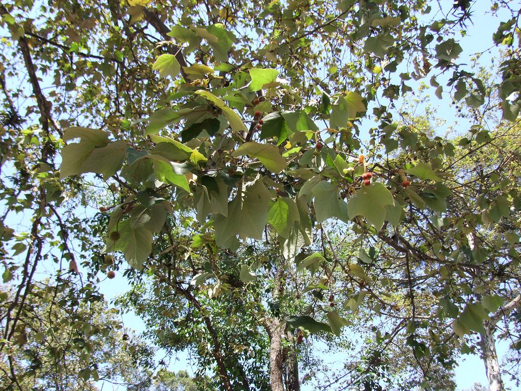
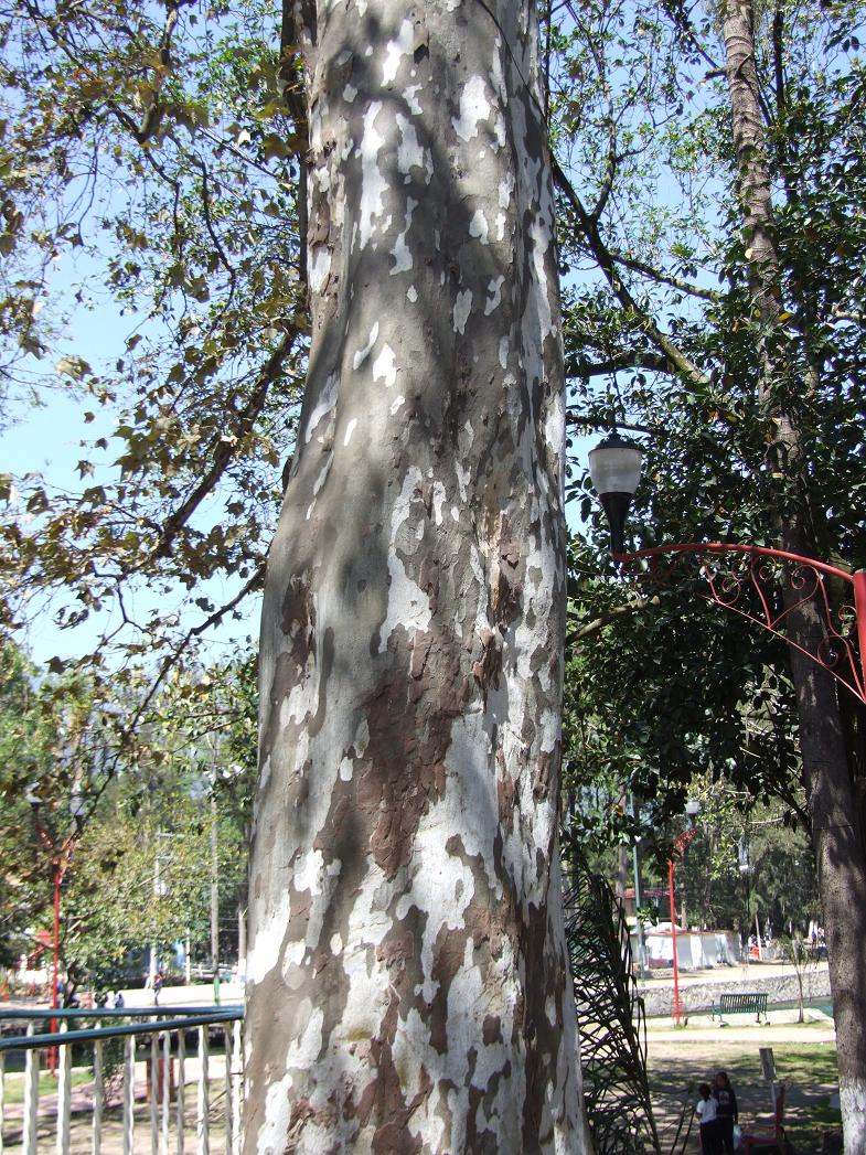
Pictures of one of the Mexican sycamores...
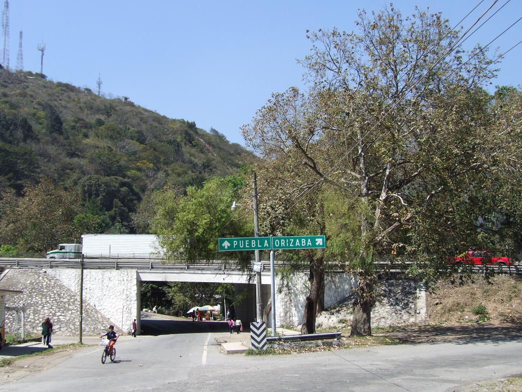
Entrance ramps to the nearby turnpike (note Mexican sycamore to the right)...
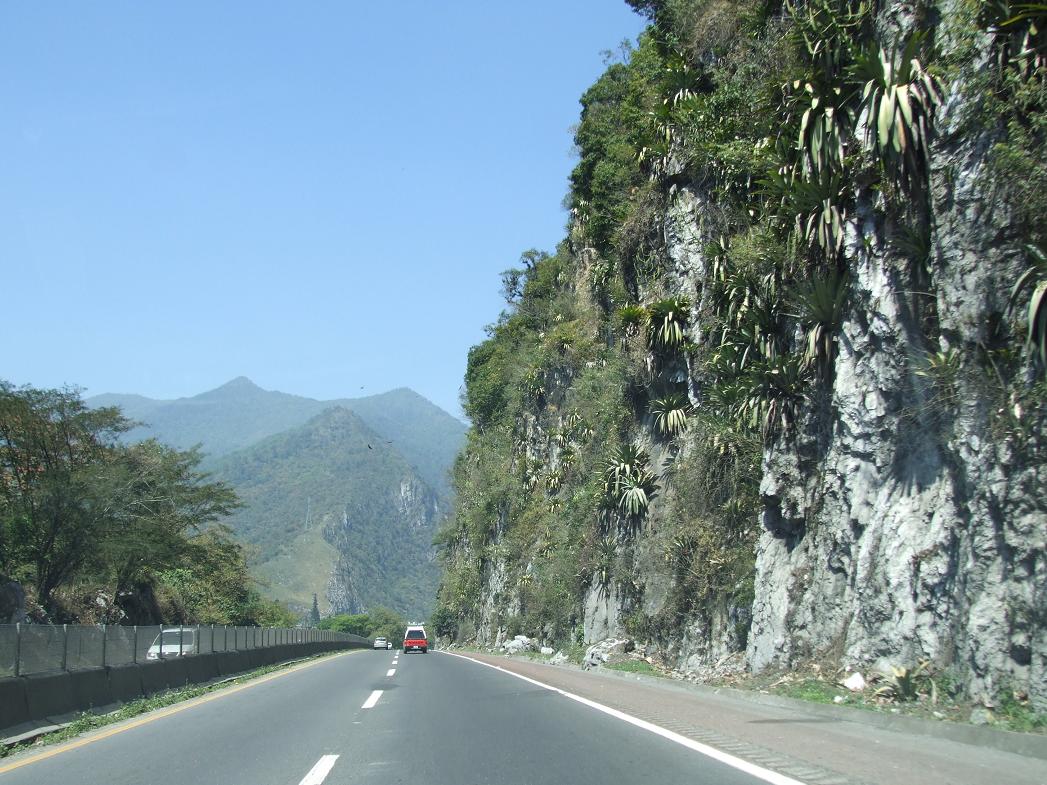
The turnpike just a short distance to the east (towards Orizaba)...note the bromeliads on the cliff!
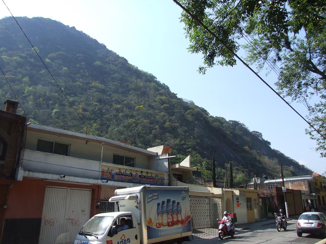
A foothill in Orizaba (even greener than a few miles west)...
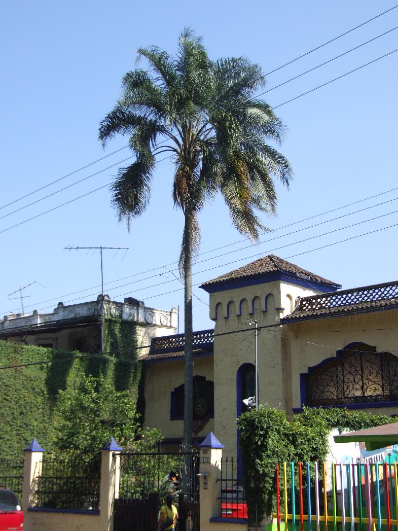
Orizaba is the perfect place for queen palms (which are planted everywhere)...
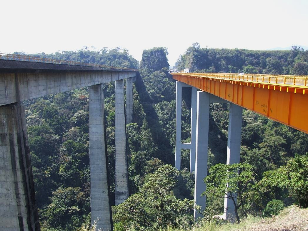
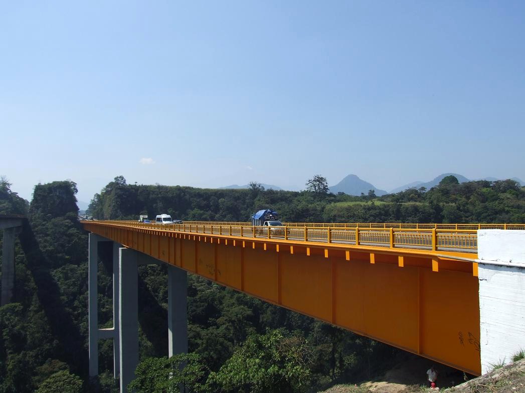
Just east of Orizaba is a deep gorge which the turnpike crosses (with spectacular freeway and railroad bridges)...
Note that Pico de Orizaba is barely visible in the distance (in the haze)--look for the cloud--then look to the right for what appears to be a smaller cloud (that's the peak)...
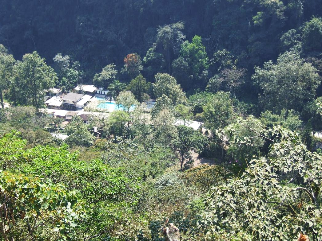
Looking down into the gorge/canyon...
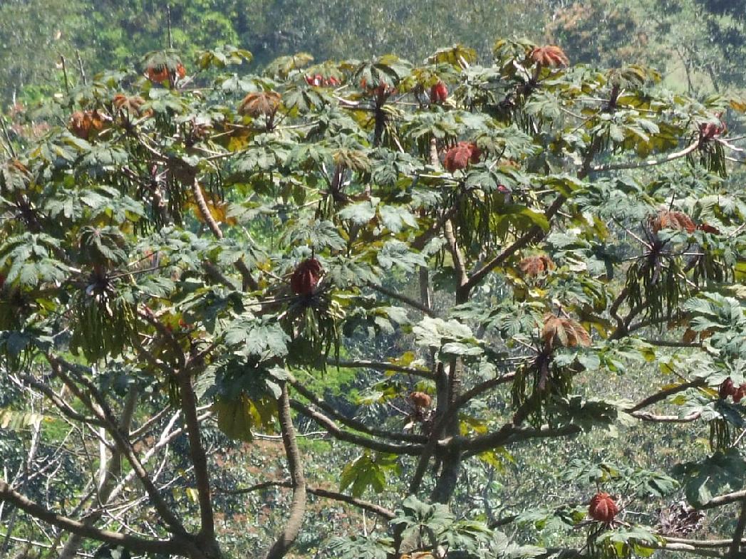
A cecropia growing in the gorge...
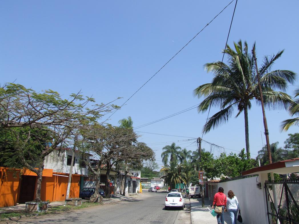
A street in Fortin, near the gorge (at this point, the elevation is about 3500 feet, low enough for large coconut palms). This is where I turned around to go back west towards Mexico City.
All of the above pictures on this page were taken in March 2009 by Brandt Maxwell.
Return to the Mexico City Area Pics Page