WEST/NORTHWEST OF THE SIERRA SAN PEDRO MĮRTIR IN BAJA CALIFORNIA
Go here for pics specifically of the Sierra San Pedro Mįrtir. This page has pics on the way to and from Baja's highest mountains, including some of the vegetation near Colonet along Highway 1, a small disjunct area of native bishop pines near Eréndria (near the coast) and La Bufadora (the blowhole), the famous marine geyser southwest of Ensenada. These pics were taken April 21 and 22, 2009.
First, a few pics at and near La Bufadora (taken on the way back on April 22, when the marine layer had returned, versus April 21, which was the last day of a California/Northern Baja heatwave). This is roughly 80 miles south of the border...
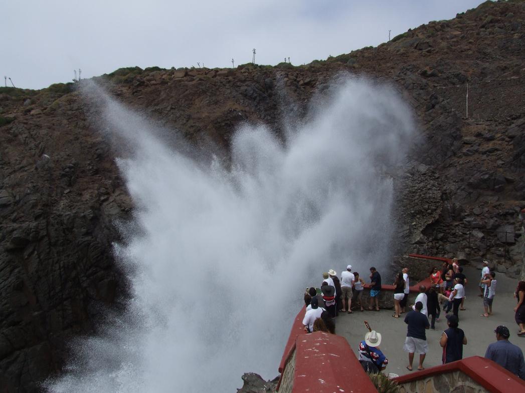
A small "eruption" of water (you can see the level of the sea, in contrast)...
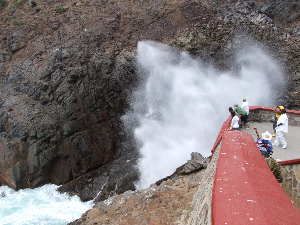
A large "eruption" (probably about 50 feet high--they can reportedly be as much as 80 feet high)...
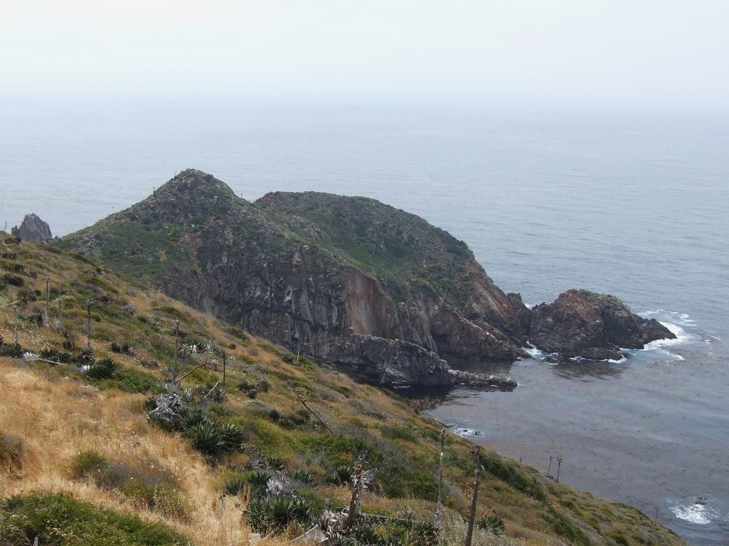
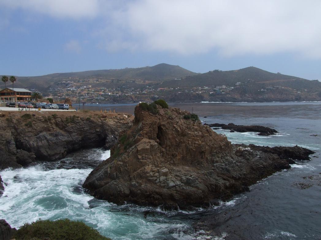
Rocky coastal terrain near La Bufadora...
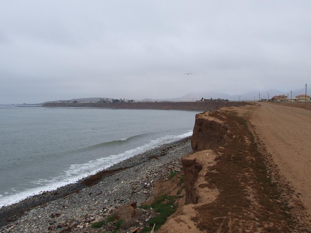
Further south along the coast at Eréndria (about 50 miles south of La Bufadora, where the water is usually colder than along the So-Cal coast despite being further south, and the marine layer is often stronger). Note the road right at the top of the small cliff.
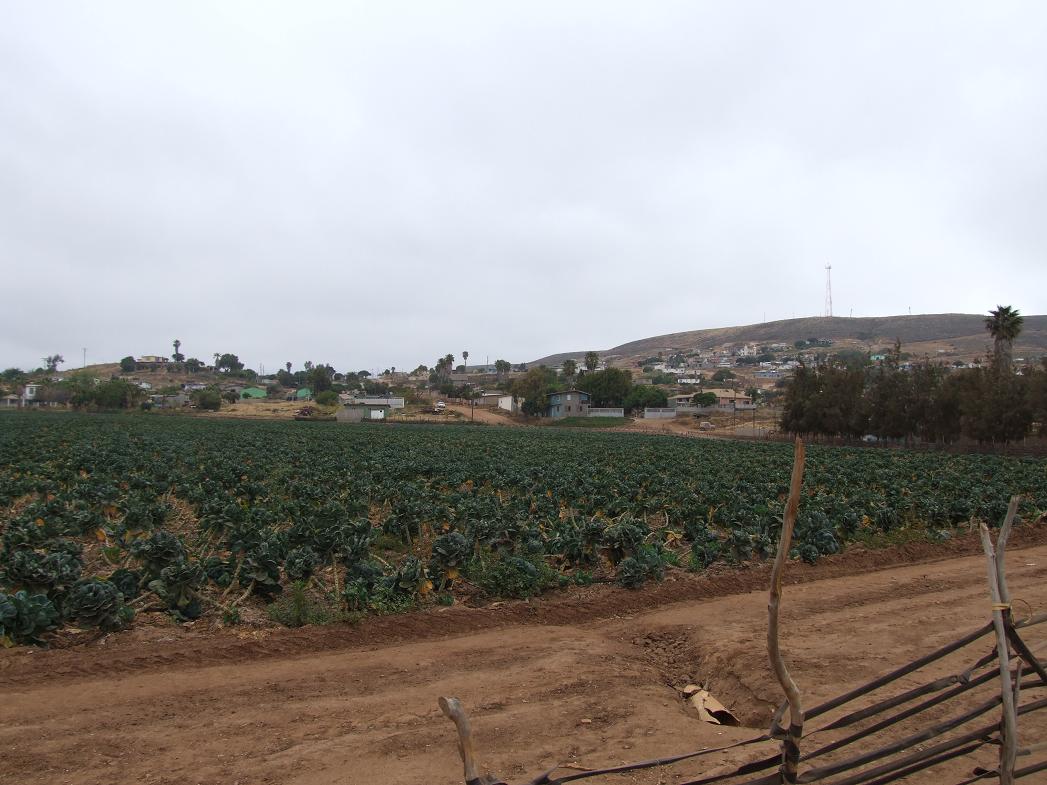
A Brussels sprout farm in Eréndria (less than a mile from the coast)...
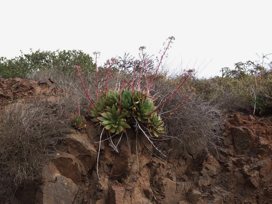
A Dudleya plant in bloom near Eréndria...
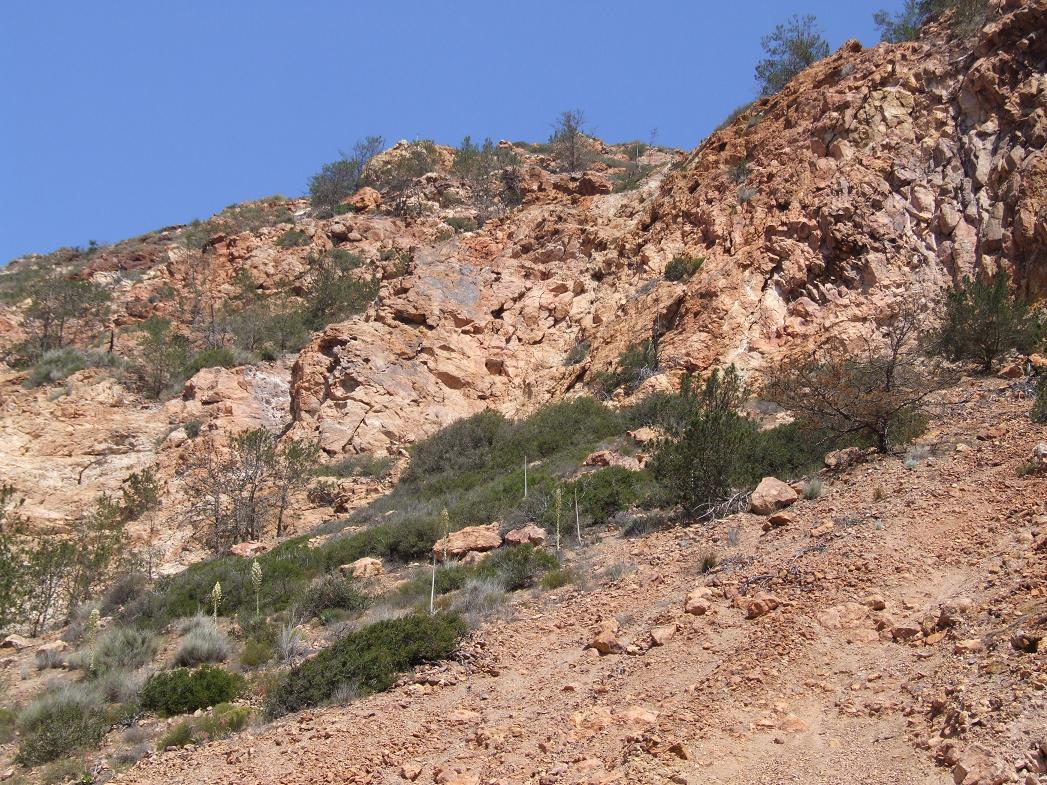
Just a few miles inland are a few spots where the bishop pine (Pinus muricata) is native (the only part of mainland Baja California where this is the case). Otherwise, this pine is native to parts of the Central and Northern California coast and Isla Cedros, an island off the coast about half way down the peninsula.
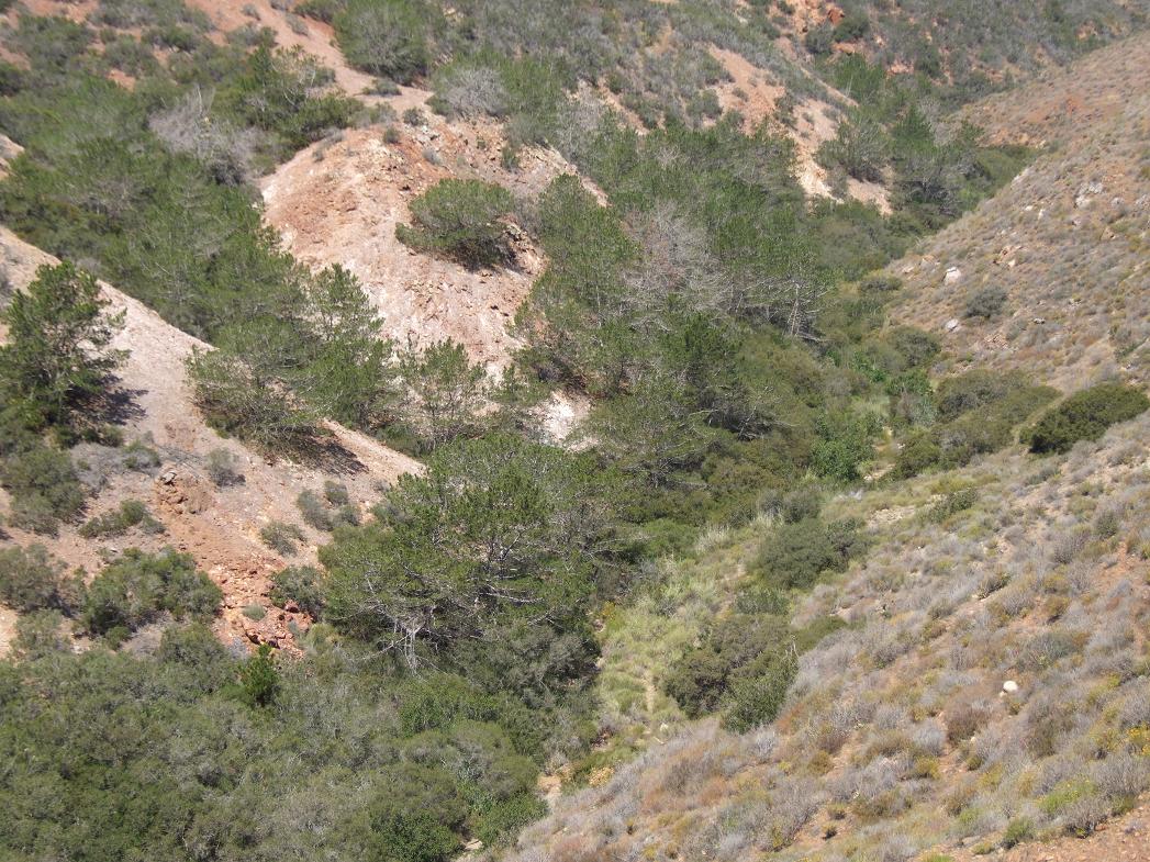
The bishop pines on this steep (and south-facing) slope are barely surviving (most bishop pines around here are threatened (especially by pine bark beetles) as rainfall is very marginal--around 10"/year)...
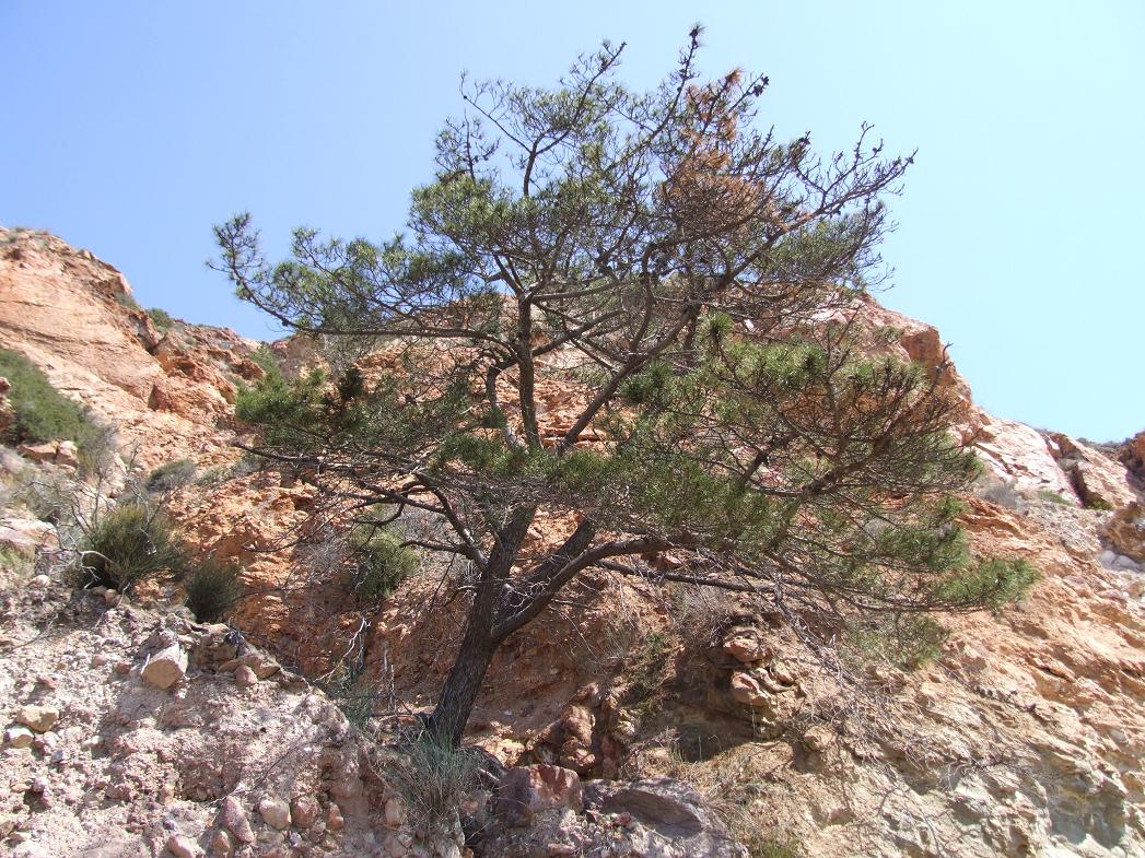
Fairly large bishop pine...
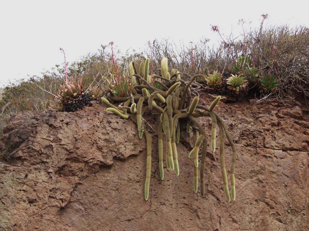
Some velvet cacti (probably Bergerocactus emoryi) hanging from a nearby cliff...
Now...Highway 1 near Colonet (on the first day...April 21). Highway 1 is mostly comparable to US standards as a 2-lane highway (though with lots of curves due to the terrain)...
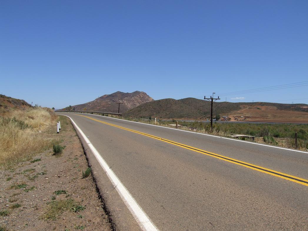
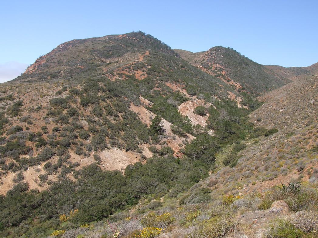
Nearby hillside...
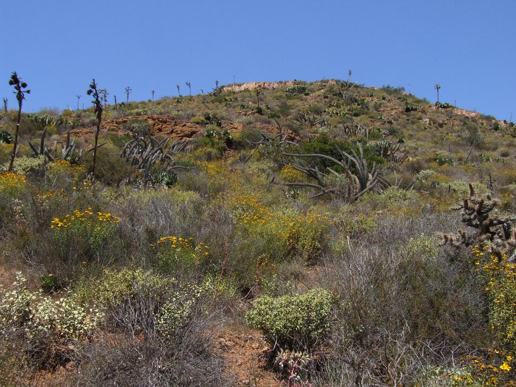
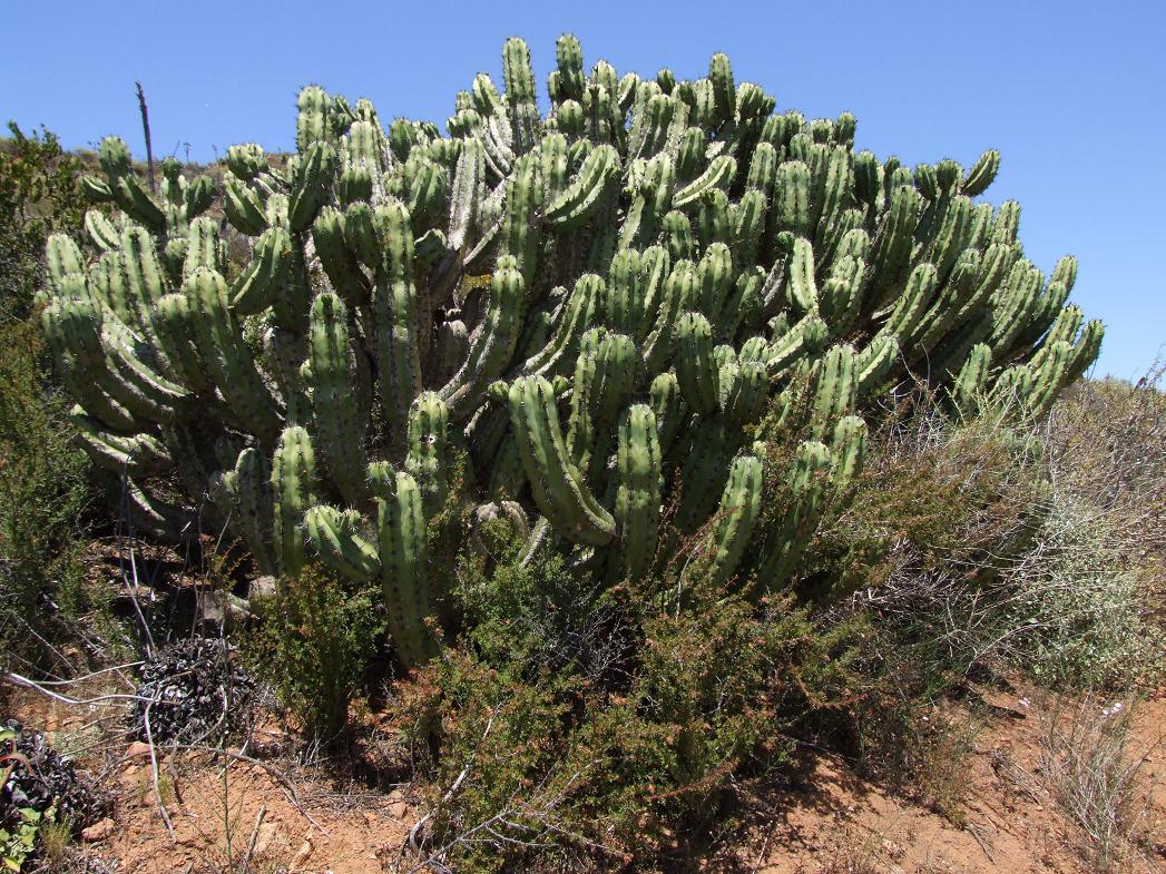
This cactus was common starting a little south of Ensenada...the candelabra cactus (Myrtillocactus cochal)...
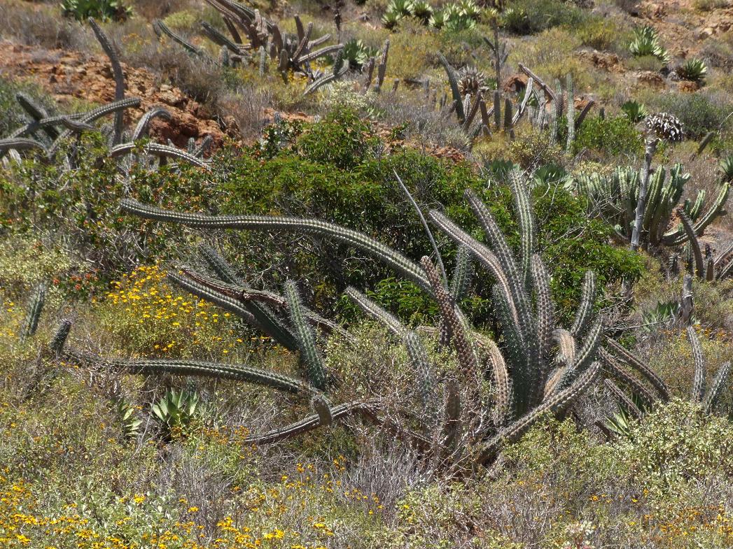
The sour pitaya (Stenocereus/Machaerocereus gummosus), which is mostly a creeping cactus. This is found from Ensenada south...
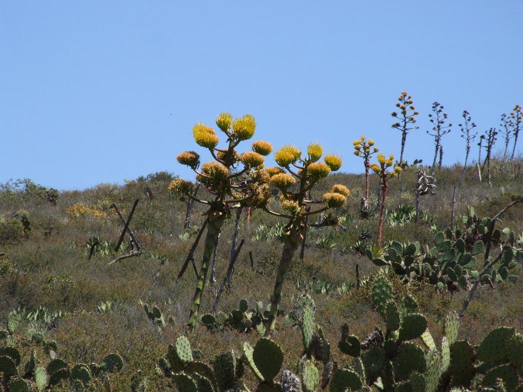
A little further south, these Agave shawii (native from coastal San Diego south to about half way down the peninsula) were near San Telmo, near the beginning of the road to the Sierra San Pedro Mįrtir...
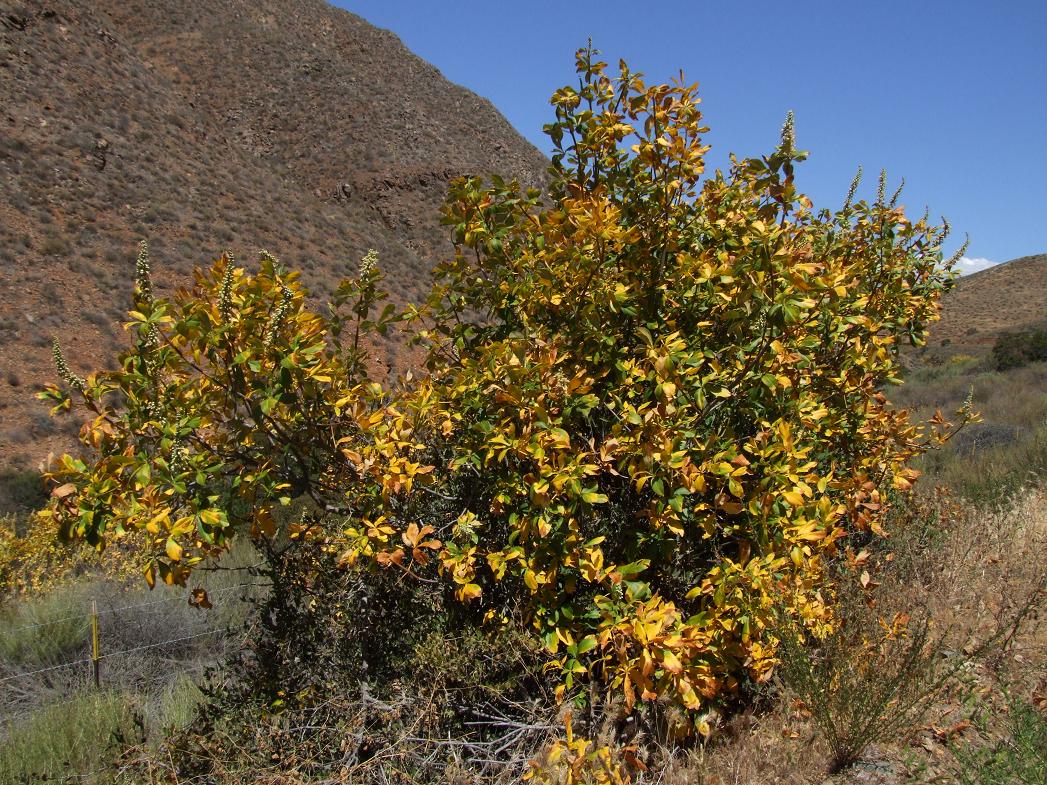
The Parry Buckeye along the road to the Sierra San Pedro Mįrtir. These are endemic to Baja California Norte and are summer deciduous (and have some bright foliage in spring). Some of these were blooming as well.

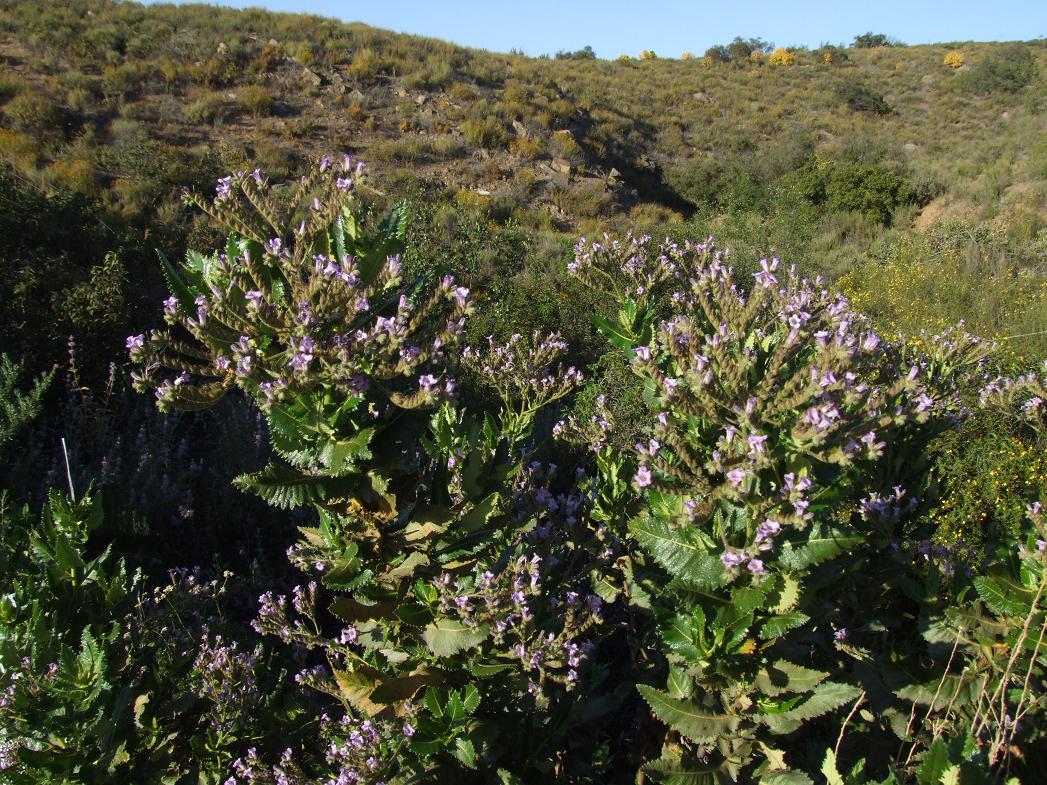
Some sort of Eriodictyon (Yerba Santa) around 3000' west of the Sierra San Pedro Mįrtir (in bloom). Note some Parry Buckeyes with "autumn foliage" in spring in the background...
All of the above pictures on this page were taken April 21, 2009 by Brandt Maxwell.
Part I--the Sierra San Pedro Mįrtir...