COROICO, BOLIVIA
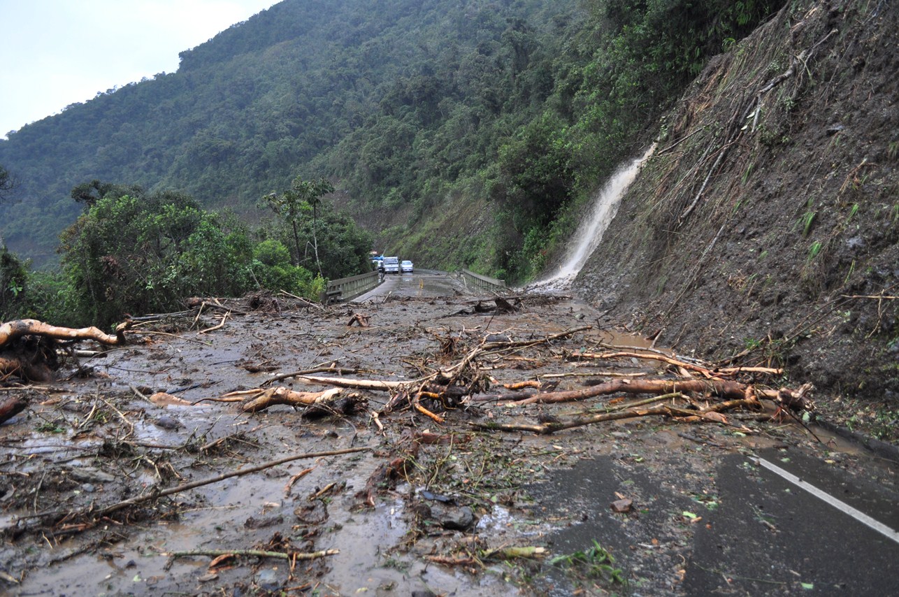
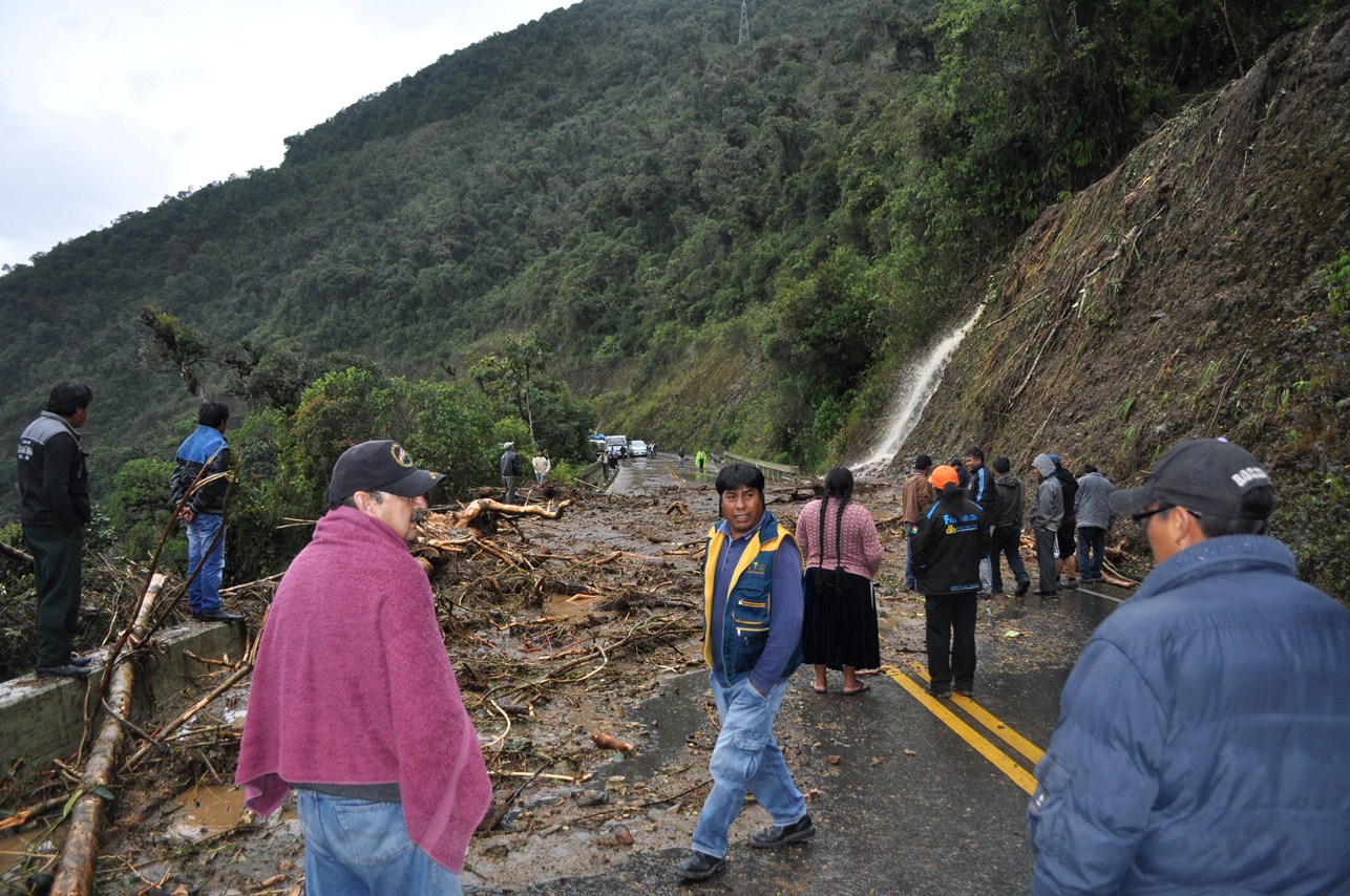
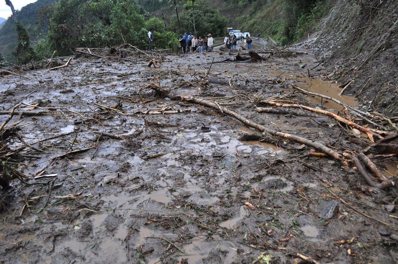
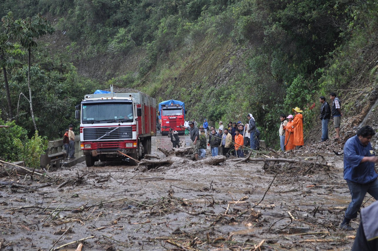
For pictures from Coroico, go here. The route from La Paz to Coroico was quite scenic (despite the clouds, fog and rain). This included La Cumbre, a pass of 15,300 feet (Coroico is around 5,500 feet, in contrast). Note that most of the road between La Paz and Coroico is a paved road that replaced "The World's Most Dangerous Road", a gravel road with sharp turns and steep cliffs where many people had died in accidents. Along this road, a mudslide (see below) occurred around 8,000 feet above sea level.
Except for at/near the mudslide (where there was a 2-hour delay), these pictures were taken from the bus...
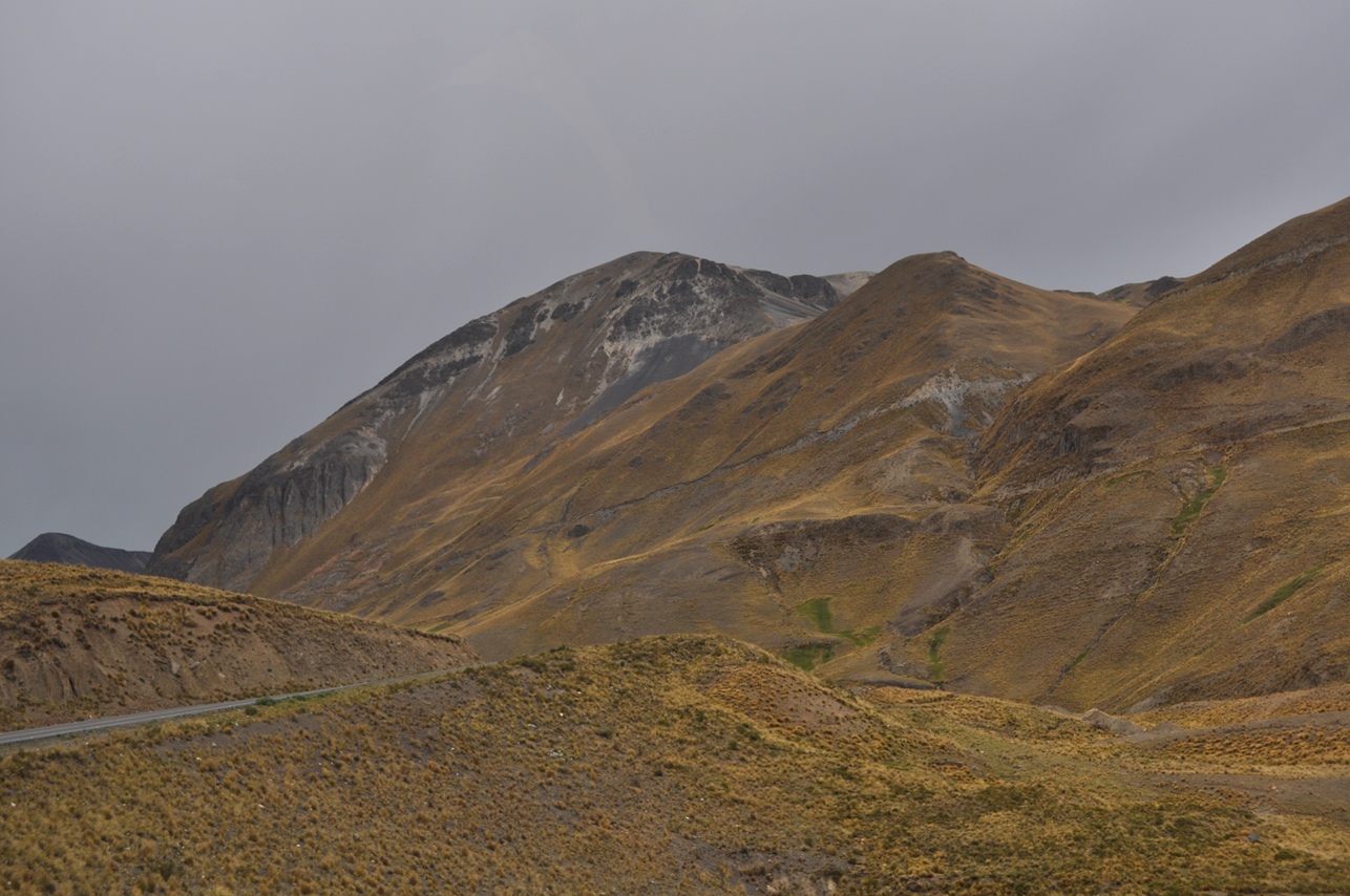
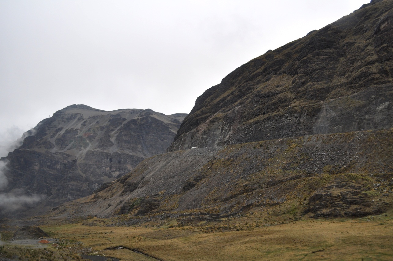
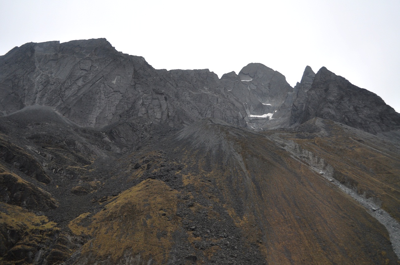
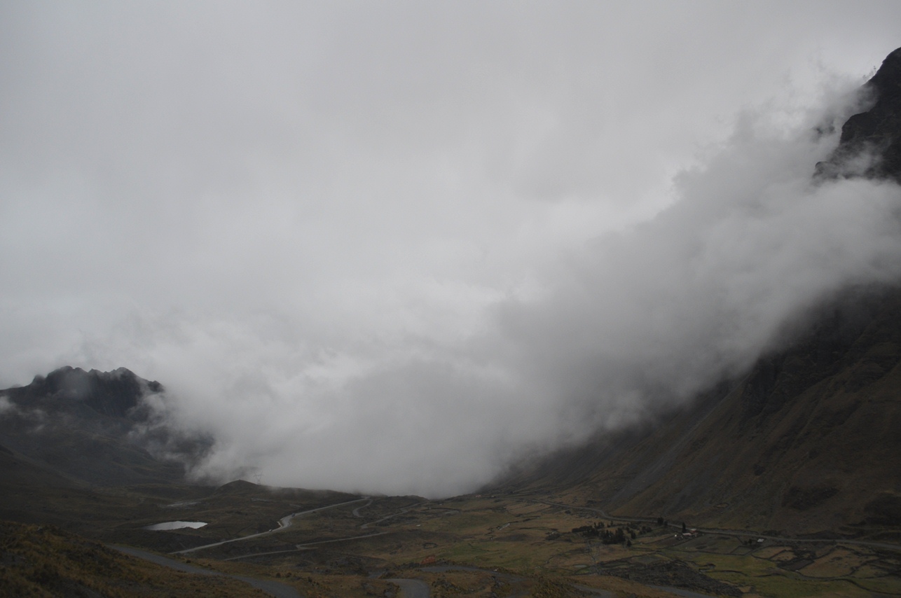
First...scenes from La Cumbre Pass (15,300 feet). Note that there was no snow along the road in these pictures and only a small amount in the highest mountains, but several inches of snow fell later that day (which was along the road when I returned that night).
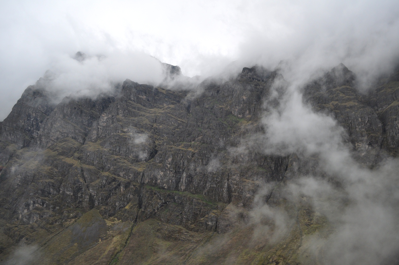
Going into the clouds (which had heavy rain, fog and thunder and lightning)...
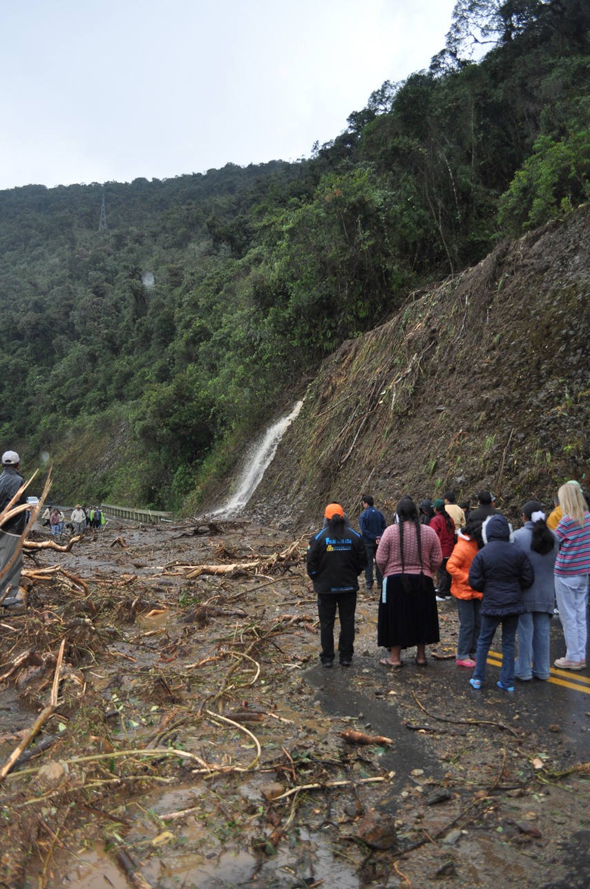
Now...for the mudslide, down lower at about 8000' in cloud forest. The delay lasted 2 hours, until a large truck (in the 4th picture) was able to remove the tree branches using a rope, and larger vehicles first drove over (and compacted) the mud (then smaller vehicles could get through).
View of Coroico in the distance from the mudslide (due to the very winding road, still almost an hour away)...
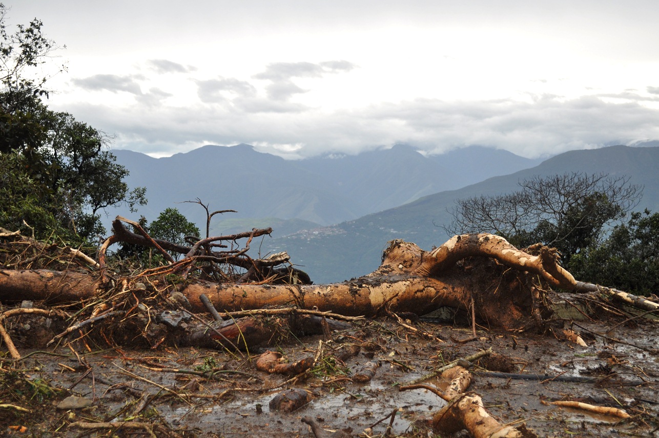
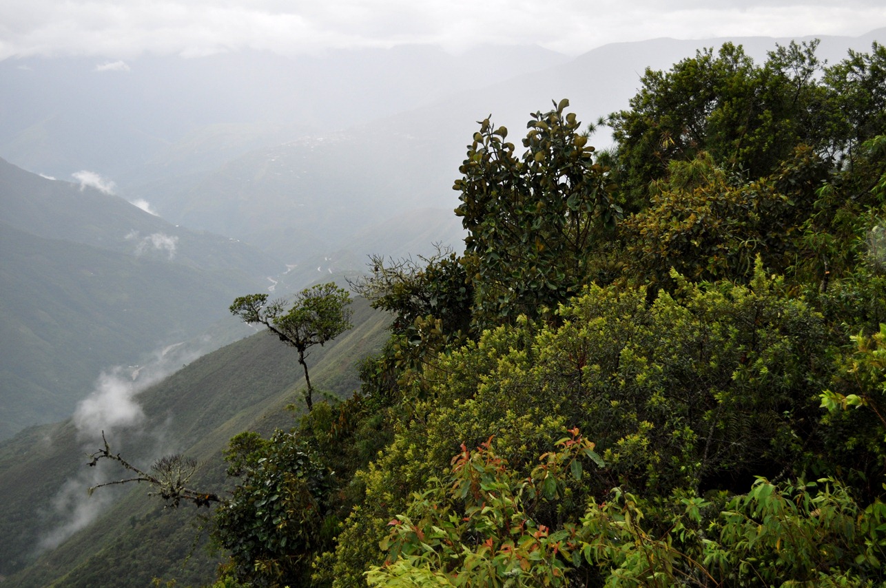
Two last views from near the mudslide...

All of the above pictures on this page were taken in November 2012 by Brandt Maxwell.
Return to the Bolivia Pics Page